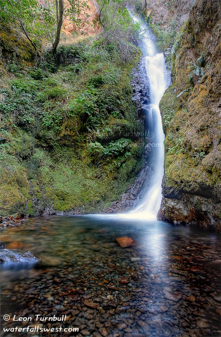
Wispy Elowah
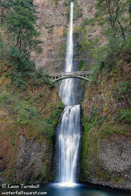
After my morning jaunt to Multnomah Falls at sunrise, I went back to the motel to collect my wife and kids and dog. We had a quick breakfast at Shari’s restaurant (no, the dog did not go into the restaurant), then scooted on up the road to the Eagle Creek trailhead, where we met Ara, a friend and fellow waterfall hunter who lives in the Portland area. I have to say, if you are a waterfall hunter, this is probably the best place in the world to live. She’s got it made. Anyway, we hiked up to Punch Bowl Falls, but the light was very harsh at that time of morning. Then we hiked back, had some lunch, and then made the short hike up to Elowah Falls.
One thing about the Columbia River Gorge area is that there seems to be a lot of car break-ins here. We saw quite a bit of smashed glass in parking lots, there were warning signs everywhere, and Ara even told us to park at the furthest lot at Eagle Creek trailhead, to avoid a possible break-in there. Interesting. That kind of thing seems to be a much bigger problem there, then here in California. It is rather upsetting, actually. Also, after eating at Shari’s, I went back to the car and while I was waiting for my family, a big black guy came up to me and asked me if I wanted to buy this gold watch that he showed me, for dirt cheap. Umm, who sells an expensive watch to someone for dirt cheap, in a parking lot? It sure looked stolen to me. I told him, emphatically, “no thanks!”.
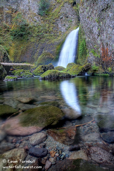
Back to hiking … my son Jadon did very well hiking all day long. I was quite proud of him. Nekoda, who was carried on the Eagle Creek hike, decided she wanted to walk on the hike to Elowah Falls. Well, it is a bit steep on the hike up there, so I carried her to the top of the hill, then let her walk down to the falls from the top. She hiked all the way back on the return trip. She did great.
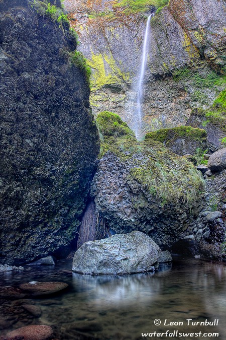
Elowah Falls was at very low flow. It was so low, that it was just blowing all over the place in the wind. It reminded me of Bridalveil Falls at Yosemite in low flow. When it was really blowing, it seemed as though it just disappeared in mid air before it got to the ground. It is rather difficult to take a photo of a waterfall blowing around like crazy. I was pretty surprised my photos came out half decent. I wasn’t expecting them to. This shot is taken from a “somewhat” secret off-the-path location a bit downstream from the bridge, which Ara took me down to see. I think you get a slightly better perspective of the waterfall from this location.
4 Comments