CONSOLATION
I had no intention whatsoever of going to the South Yuba River Falls again. However, my planned hike failed miserably and this was my only consolation prize.
I started my hike at 5:37 AM in the dark, seven minutes late. It was 37°. I was trying out some new light clothing I just purchased, in preparation for my upcoming annual Yosemite pilgrimage. This would be a good test. It was a long sleeve merino wool shirt and the REI Revel cloud down jacket. They are both light as a feather and I thought for certain it was too cold to wear this, surely I would need something else as well. And yet, as I prepared to start my hike I did not feel too cold at all. Once I got going I was warm, actually even too warm. The new clothes are top notch and passed the test with flying colors, however the wool did give me the itch. I am not a wool person. I wonder if I put a cotton T-shirt underneath, if that will be better? I suspect that the cotton would totally negate the effect of the wool. Anyway I might try it.
So on to my hike. It was dark. I saw and heard no strange or evil animals, such as Sasquatches or flying pterodactyls. However, after a couple miles of hiking I came to a swamp. The road became a swamp. There was no (dry) way around this and there was an unmarked stream crossing my path and I had to wade across it, and it was deep, up to my waist deep. And cold. Geepers, it was cold! Shortly after crossing the stream, I found that the road was turning away from where I expected it to go. According to my topo map, the road should’ve continued up to where the waterfalls were. It should have been an easy hike, but instead the road turned back towards the river. I searched around the forest this way and that for another road, an overgrown road, anything. It was not to be, I had to turn back, there is no way I could’ve continued another 2 miles through the swampy area with no trail to follow. It was time to go home.
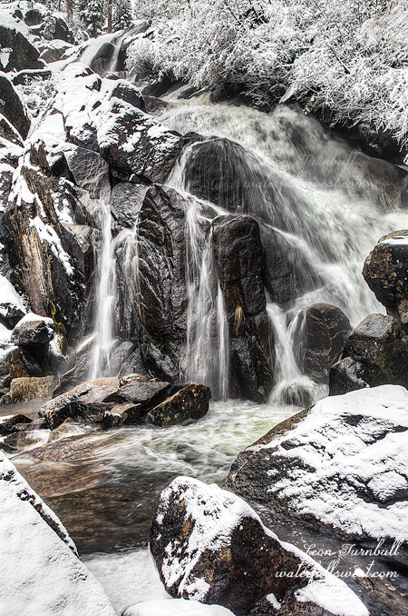
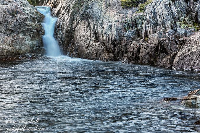
But wait! It was still early and I was only about a mile from South Yuba River Falls. I did want to go back there anyway to attempt to get closer to that waterfall. Remember, the last time I was here there was a full on blizzard, I was dead tired from snowshoeing all the way to the falls, and I did not have the energy nor was it safe to get down closer to it. There was no blizzard today. I had no idea when the South Yuba River Falls would be in the sun, but I knew it would be in the sun early. Would I make it in time?
I scooted my buns down to the river and when I came to the campground shortly before the falls, I found a truckload of campers there. They were all still asleep, except for one man and his dog. I could not understand how they got through the swamp area with the vehicles that they had. It was utterly impossible without getting stuck. The water on the road would’ve been 2 feet deep, there is no way they could’ve done it. I would have asked the man about it, since my curiosity was peaked, but I figured they must have gone on a different road. However, on my way back I searched for such road and I found no other way to get around the swamp. I did find a way myself to go around the swamp, but I was on no road. So how did they get there? Mysteries.
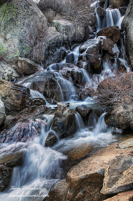
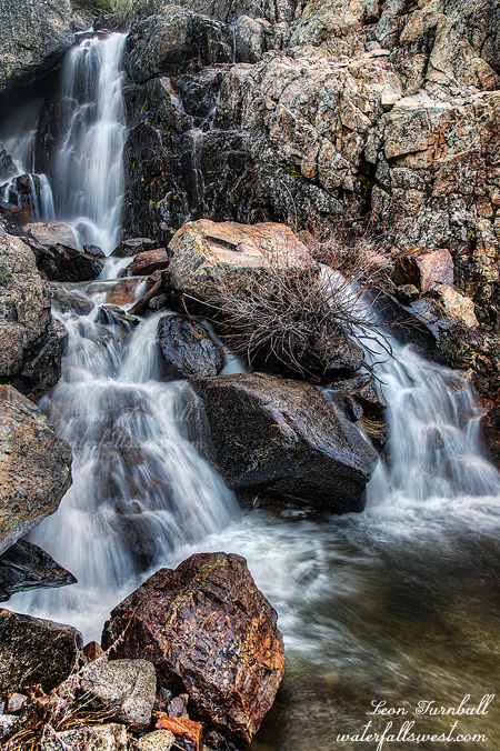
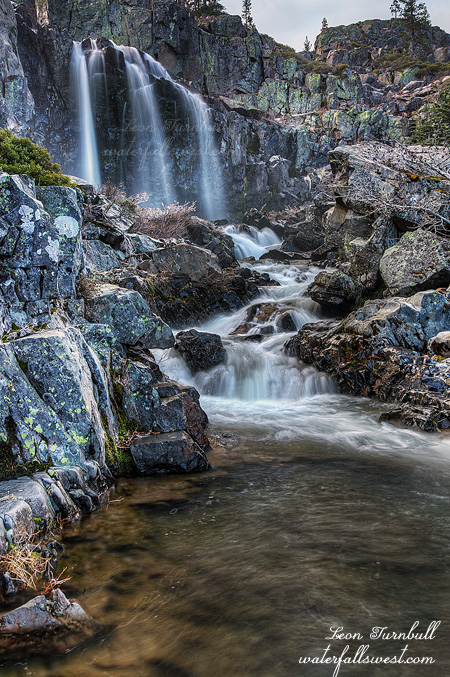
As for the waterfall, I arrived in the nick of time and made it down to the riverside. I had about 15 minutes to photograph it before the sun came over the hills. It was a marvelous consolation prize and a great morning to hike.