OF DARWIN AND WATERFALLS
Saturday … forecast 107 degrees for Sacramento Valley. No thank you. Time to go escape the heat and head up into the mountains to Lake Tahoe. Forecast for Tahoe was not much better at 90 degrees but I’ll take it. We arrived at the motel, I dropped the wife and kids off. Apparently, they would rather swim in the pool at the motel then go to see a waterfall. The horror. I think I am failing as a father. Well, where should I go? There were no clouds in the sky, but I decided to go to Eagle Falls anyway.
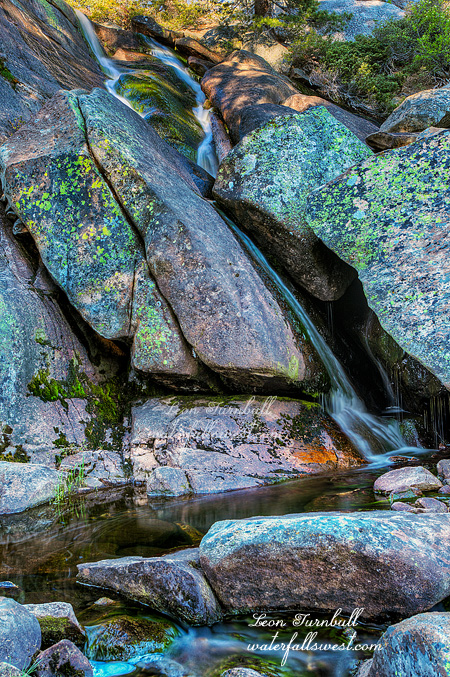
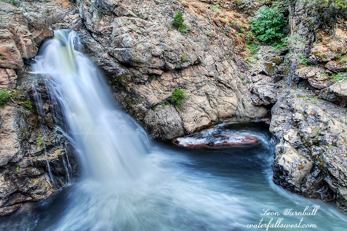
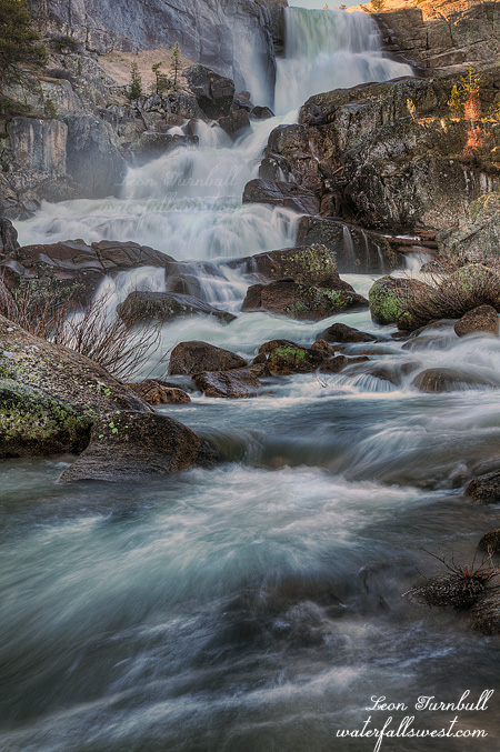
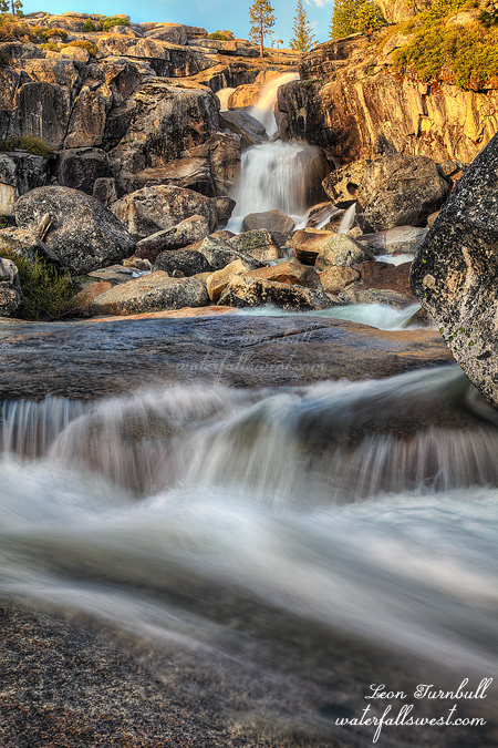
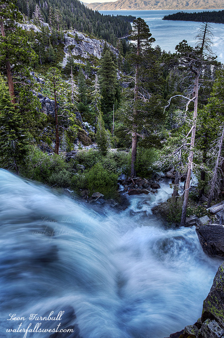
I wanted to go down to the bottom of the falls, on the south side, ie. not on the regular trail to the bottom, but straight down the steep hillside from the highway, looking for some new comps of the waterfall from down there. It was easy enough getting down, there is a well trodden path. I could not find any place to photograph the waterfall, however. The waterfall is still flowing very well. All the waterfalls around Tahoe are still going pretty good, and there is still snow melting in the mountains. There was too much mist and spray from the falls to get up close to it from below. I was bummed. I really wanted to get something from down there, and I spent a lot of time trying, but it just was not happening. Finally I went back up to the top of the falls and I found this nice composition overlooking Emerald Bay. It is obviously not a new composition, others have shot it before, but I had not. It was quite nice, a very pleasant evening, and the mosquitoes were not bad at all. This is surprising as usually they are quite bad here and it was so warm out you would think they would be biting. I was happy about that (but stick around for my next post to find out where they were really hiding).
As I was standing here photographing the waterfall, a lot of teens arrived and were walking around on the other side of the creek at the top of the falls. It seems they were from a church group, or at least some were. Then I cringed. A couple of them starting walking out in the creek, climbing over the rocks, right at the very edge of the waterfall. I am not exaggerating when I say they were in an EXTREMELY DANGEROUS position. I watched them for a bit, expecting one of them to fall off the cliff at any moment. I was within a few seconds of going to say something, but then they moved to a safer location, so I decided to let it be. But perhaps I should have said something anyway? I am not entirely sure if they were with the church group because they seemed a bit older than some of the other kids, but it seems very ironic that the church kids seem to be winning all the Darwin Awards lately. The teen who went over Nevada Falls last week was with a church group, as were the two that went over Vernal Falls last year. I wonder … Well, I suppose it is really all teenagers that are like this (well, not all, but certainly many). They think they are invincible, macho, they can do anything etc. If I had said anything to these two, I am sure they would have said they were not being unsafe, they were in control of the situation. They would have said that what an old and feeble geezer like myself thinks is unsafe, is not unsafe to them, young and strong and virile. Many people have died at Eagle Falls as well. Those rocks in the water are very slippery, I am not kidding. And I am positive that the kid who went over Nevada Falls was thinking the very same thing. He was strong, he was not being unsafe, the current in the river was calm enough to swim in, and he could easily handle it. Yeah, right. Next! I am not being unsympathetic to these people who have died, but come on people, you need to be smart. Waterfalls are very dangerous. Ok I think I have said enough about that. Stay tuned for my next post, where I tell you how I almost died, and it was not from a waterfall.