THE BUMPIEST ROAD
I learned last week that the Bowman Lake Road was already open for the year (as of the end of March). This is shocking. During a normal year, this road is not open until June, sometimes even July. It seems they plowed the road this year so they could work at the dam (they = PG&E), but no doubt it is also due to the very low snowpack this year.
I decided to take advantage of this and drive up to Bowman Lake to see it in rare, early season conditions. I was expecting there to be quite a lot of snow up there, similar or more to what I experienced the previous week in the Trinity Alps. The road was plowed to the dam only, and I expected to have to walk from there through the snow. I brought my snow shoes. I did not need them. There was no snow.
As you may know the Bowman Lake Road is pure torture. I have said this before and I will say it again, the road leaves your bones rattling for days afterwards. The potholes and rocks you have to drive over are ridiculous. It takes forever to drive the five miles to the lake (and even longer if you want to keep going to Faucherie Lake). It is the bumpiest road.
There was some snow along the side of the road as I drove up in certain places. If they had not plowed it, I’m sure the road would still be closed. I find it extremely funny how snow accumulates so much in precise locations and takes forever to melt, but just a few feet further and there is no snow at all. Actually, it is not funny. It is annoying. If the snow on the road in these few spots would melt quicker, the roads would be open so much sooner in the year. I am very happy they plowed it this year.
But as I arrived at the lake, I found almost no snow whatsoever! If you think about this, it is really awful. There should be tons of snow up there right now. Where oh where are you, snow? You could easily drive past the dam to the end of the lake. And so I did. There were some puddles to drive through, but the road is so hard, it does not turn into mud. I drove to the turnoff for Weaver Lake and parked. I could have kept driving up this road too, but I wanted some exercise. Plus, I was sick of driving that darn awful road. My head was rattling off its post.
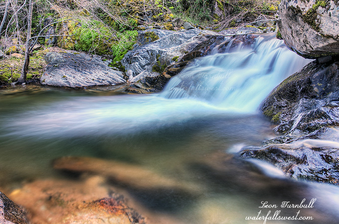
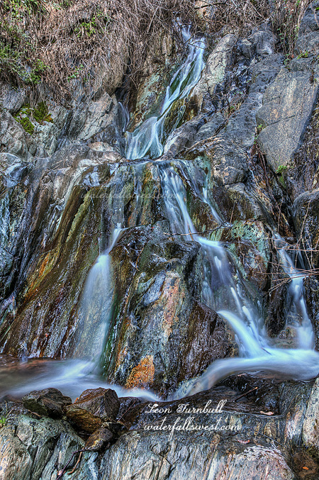
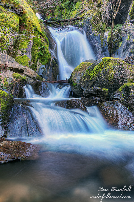
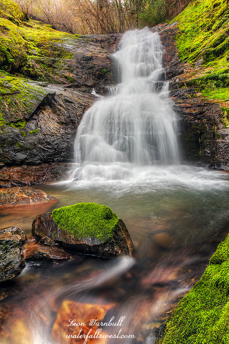
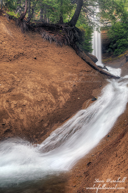
I knew there was a waterfall at the end of Weaver Lake, and I had not been up here before, so I was hoping to get to it. I really thought it would be very easy to get to it. At the end of the lake are some crazy cliffs, much similar to the cliffs on Table Mountain in Oroville. I continued on the road past the lake, down to the bottom of the cliffs and cross countried it over to the waterfall. This part was easy smeasy. However, as I approached the waterfall, I realized I would not make it. The brush got very thick, far too thick, the sides of the gully got steep, far too steep, there were trees and bushes in the way of the view of the waterfall, far too many. There was no way to get close to this thing for any sort of decent view. And I tried. I tried going through that thick brush. Not a chance. I settled on this shot here, for which I had to stand in the middle of the cold creek to shoot. After this, still desperate for a better view, I went back up the road and on the top of the cliffs, thinking there might be a good view of the falls from above. You just can’t get close enough to the edge of the cliffs to see the waterfall, however. I crossed the creek above the falls, and tried the cliffs on the other side as well. Again, it just did not work. It was close, baby. There was almost a great view of the waterfall from the other side. Almost only counts in horseshoes and hand grenades, however. Not in waterfall hunting. I want to go back here someday and try again. I think there might be another way. There must be another way.
Well, I had to get back. I was due in Grass Valley for my nephew’s birthday party. I had wanted to go on a second hike while up here. Heck, if you’re gonna drive up this bumpiest road, you should at least go on one other hike. But I spent far too much time at Weaver Lake trying to find a view of that waterfall, and now I was out of time. I’ll be back here again, though.