More Arroyo San Jose

This one is from my outing last weekend.

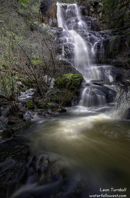
This is the third waterfall on Arroyo San Jose (35 ft. high). It is probably my favourite of the four waterfalls on this creek, and it is probably because of the difficulty getting to it. It is quite dangerous to get down to, requiring a very steep descent, on a slippery slope, with not much to hold onto. Once down at the falls, it is particularly difficult to photograph as well. You cannot get right down to the creek, so I was taking the photo on the side of the steep slope, planting my foot against a tree for support so I would not fall, and trying to setup my camera and tripod in a stable enough spot. It worked, and I kinda like how this photo turned out, actually. It is not clean due to the branches at the bottom, but I do not think they detract from the photo, in fact I think they enhance it in some odd way.

2 Comments

Pacheco Falls

This is the second place I went to in Novato last weekend: Pacheco Creek.

Pacheco Creek was not flowing very well at all, compared to Arroyo San Jose. I was thoroughly disappointed as I hiked up this canyon. I was also a bit disappointed at the height of this waterfall. It is 24 ft. high, and I had been told it was quite a bit higher than that. Still though, it is a pretty one and worth seeing, though it would be better when the creek is flowing much higher.

Like Arroyo San Jose, it does take quite a lot of work to get up to it, and requires hiking along steep, narrow paths, with dangerous drop-offs. That is just par for the course, I suppose.

After doing these two hikes in Novato, I had initially thought of going to Cataract Creek on Mt. Tam, and I knew that one would be flowing very well. But all this scrambling and steep hiking made me much too tired, so I decided to leave that hike for another day.

I had a very nice morning outing in Novato. Though will I ever return to these two waterfalls? I do not know.

5 Comments

Beauty Found in Novato

This weekend I decided to head on over to Marin County to find some new waterfalls. With all the recent rain we’ve had, I figured this was the best time to seek out waterfalls in the Bay area. The vast majority of waterfalls in that area only flow well right after heavy rains. We did have heavy rains. But the thing is, the last rain was about a week ago. Would I be too late? The answer is yes and no.

My goal for this day: Novato.

I had heard about some new waterfalls in this area, and I figured this was a good time to check them out. Sometimes I like going to waterfalls that I have visited in the past. Sometimes I like going to new waterfalls that I have not visited before. This weekend I wanted to see some new ones.

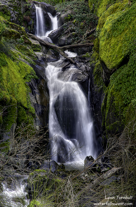
The name of the first set of waterfalls I found was Arroyo San Jose Falls. I cannot pronounce it (just ask my wife), but I can tell you that this creek holds some gorgeous waterfalls. There are actually four separate waterfalls on this creek, all in the range of about 25 to 60 feet high. The one pictured here is the first waterfall you come to (37 ft. high), a very short easy hike up the creek from the trailhead.

In order to get to the upper ones, however, requires a bit of work. The trail continues up above this first waterfall. It is steep, it is slippery, it is narrow in places, and it has dangerous drop-offs. After last week at Canyon Creek, I was not really in the mind of doing any difficult or dangerous scrambling. But I have come to realize that virtually all waterfalls can be quite dangerous. Even if it is an easy and safe hike to the waterfall (like this first one here), if you do any scrambling around the waterfall (like trying to get to the top of it, for instance), then all of a sudden you are in a danger zone and need to be extremely careful. So … I was very careful of course, as I scrambled up to waterfalls two, three, and four. Number two was the smallest one, and it was fairly easy to get to. Number three was the most difficult, requiring a steep, dangerous, descent down to the creek. I almost didn’t go down to it, but finally found some branches to hang onto, to guide my descent. Number four was the biggest one, 55+ ft. high. All of them were quite pretty, though not all easy to photograph. And the creek was flowing fairly well too, a week after the rains, but it was not “rushing”, and I was hoping that it would be flowing a little better than it was. That is the trouble with most of these Bay area waterfalls. You really need to get to them the next day after a storm. Still though, this one was sure pretty nice.

11 Comments

Deschutes Sunrise

It is a long two day drive from Rossland to Folsom. On the way back, we always stop overnight at Bend Oregon, about half way. Usually, I like to get up in the morning for sunrise photography in the Bend area, if I can.

This time … I got my family up as well. My idea was to drive up to Sparks Lake for sunrise. I did not realize, however, that the road to Sparks Lake is closed in the winter. This idea was just a last minute whim, and I did not do any research prior, so that is my excuse. I did know and have seen many beautiful photos from this lake, so I knew it was a place I wanted to shoot and I thought this would be a great time to do it. I got the family up very early, and we headed out, all the way up to Mt. Bachelor ski area. Then the road disappeared! What happened to it? I finally realized that the road that continued on to the lake was closed. Dang! So much for that great idea.

It was a bummer too because it was looking like a pretty wicked sunrise was coming on. Off in the distance to the east, I could see some amazing color starting to happen. But no place to shoot from. We turned around and instead of going back to Bend, we took the turnoff down to Sun River, which would be a short cut for us on our way back to California.

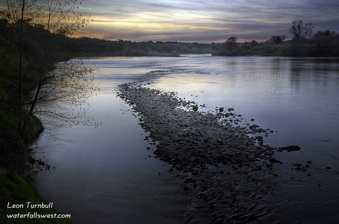
All the way down that road I looked for an opening through the trees where I could shoot sunrise. Nothing. Finally, at the bottom we came to a crossing of the Deschutes River, and I said “this is the spot”, slamming on the brakes and stopping the car on the side of the road, and then scrambling down to the edge of the river, just in time to get the last of the really nice sunrise color. Not too bad at all.

6 Comments

Lower American Canyon Creek

This shot is from a couple weeks ago, before the big rains we had here. It probably looks a lot different these days.

Lower American Canyon Creek Falls … that’s quite a mouthful. This is a relatively unknown and obscure 37 ft. high falls on American Canyon Creek, and it’s another pretty one.

The first time I was at this falls, last year, I did not get a photo of the falls that I was happy with, so I was definitely wanting to get back here.

I had a tough time finding the trail down to the falls this time around. I knew about where it was, but it seemed that the trail was easier to find last time. It also seemed steeper this time.

I was also hoping to get a better vantage point of the falls this time because I knew the water flow would be much less. No dice there. There is one and only one spot to photograph this waterfall. Even with less water, that pool at the bottom of the falls is very deep. And I didn’t feel like swimming on this day.

No Comments