THE LITTLEST ONE

This weekend was a disaster. Or it started out that way. I drove 110 miles to go on a hike to see a waterfall. It was a beautiful morning. The hike was good. I arrived down to the waterfall. It was completely dry. Not even a trickle. This was all just after a big storm. How could it possibly be dry? I was not expecting it be roaring, but I definitely expected it to be decent. After this hike, I had a second hike planned as well in the same area. However, I scrapped it. If the first waterfall was dry, the second one would likely be dry as well. I decided to just drive on back home, 110 miles.

I was feeling bummed, so I decided to redeem myself in the afternoon and go on another hike close to home. This one I knew would be flowing.

Going to this waterfall on a Saturday afternoon is iffy. I much prefer hiking here in the morning. There is only room for 4 cars to park at the trailhead. Well, I arrived at 1:30PM and there was exactly one space available for me. Thank you God for saving it for me. I saw all the other hikers coming up the hill as I was going down. One of them asked me if one could backpack down here on this trail. I thought that was a weird question, but afterwards it donned on me that he saw my big camera pack, and must have thought I was backpacking, not day hiking. Ha ha. I also noticed a LOT of small burned areas along the trail. It was as if people were having campfires in various spots all along the trail. After the first few, I realized this was some sort of official burning (ie. not random kids doing it).  But why? Why would the park rangers do all this burning of wood along the trail? I can think of three very good reasons not to do this: (1) It violates Leave No Trace principles, (2) It could easily start a forest fire, and (3) It is just plain stupid. I don’t get it. Someone please explain it to my little brain.

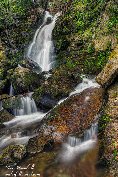
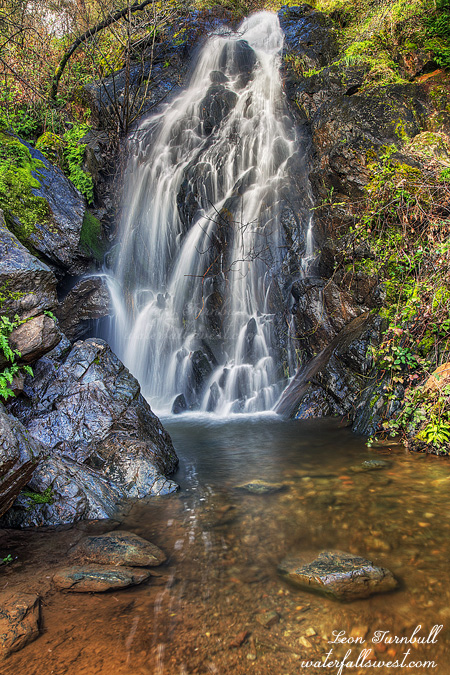
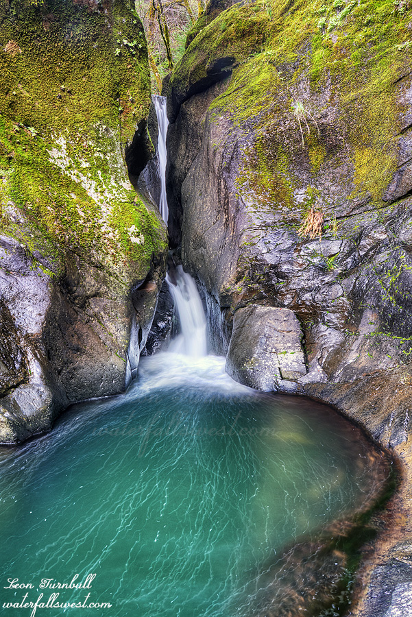
I have been to American Canyon Creek Falls many times before. It is a fairly easy hike. It is a little thing, but it is a pretty little thing, and very unique. I love this littlest waterfall. I did not really want to go back to American Canyon this weekend, I would have much preferred better success in the morning on the two different hikes, but nonetheless I enjoyed myself down at the littlest falls. I hiked back up the hill, arriving at the car just before dark, I drove home, ate my spaghetti dinner, and watched my Vancouver Canucks move into first place after beating the Sharks. Yeah. It may have been a bad morning, but the afternoon and evening were great.

No Comments

DAY 2. BACK TO THE DRAWING BOARD

I got up in the dark at 4:15AM, packed up quickly and headed up the mountain. I wanted to try to find a new waterfall. However, I totally underestimated the hike. It was an hour back up to the road. Then I had 3 miles to hike from there, however, it was off trail, with much elevation gain, through swamps, too much brush, and across icy hard (and dangerous) snow fields. It took far longer than anticipated. I was still at least an hour away from the falls when I realized the waterfall was already in the sun, and I had no chance to make it. I had run out of time, and I was past my turning around time. I needed to get back home. The animals I left alone all weekend would be starving by now. I will be back to this one some day when I have more time. Despite having to turn around, it was still an interesting hike with some great views of the Desolation Wilderness.

It was a very long hike back to the car. It was very hot as well (despite it being very cold in the morning). Thankfully, it was mostly downhill. I got back to my vehicle at noon, and home in time to have a big pizza for dinner. (and the animals were all fine of course).

This photo is the top section of Middle Bassi Falls from my campsite.

No Comments

DAY 1. FURY IN THE MIDDLE

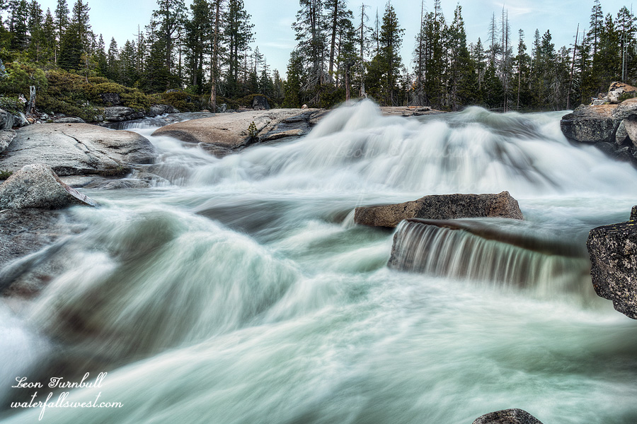
I went up to Bassi Falls on Saturday morning. I did not get up early. I have been there many times before, and I have many good photos of Bassi Falls. Why would I go back to Bassi Falls? When the light would be very bad? The answer is: so I could get some video of the falls. I was not happy about the bad lighting, but I just did not want to get up at 3AM. So there.

Even though I was not super early, I was the first one to arrive at Bassi Falls. Bassi Creek is well past peak flow now, but it is still not crossable. An important point to note for later. It was not long before the hordes showed up. It was a Saturday. It was summer. I knew it would be busy at Bassi Falls, but I was not expecting all of this. By the time I left at 10AM, it was already super packed around the falls, and when I got back to the car, the parking lot was overflowed. Yikes! There was a time not long ago, when no one went to Bassi Falls, not even in summer. You needed a four wheel drive to get to the trailhead, so that was a big deterrent, plus no one knew about it. What happened? Is it because of Facebook/Instagram? I do not know. I do know it is extremely popular now. I was just talking to someone on Instagram who had a recent photo of Bassi Falls and they said they did not know the name of the waterfall and wanted to keep it secret. Secret? What is the point of that? That ship has long passed by, many years ago. Also, how can you come here (apparently, more than once) and not know the name of this waterfall? There are multiple signs saying “Bassi Falls”. You would have to be blind not to see them. And if you are blind, how could you see the waterfall?

It is also interesting to note (and I pondered this as I was sitting on the rocks by the waterfall), is that there is no trash at Bassi Falls. It is such a popular location, yet the lack of trash is very evident! This is an oddity! But it is a very happy oddity. Now having said that, as soon as I got up to leave, I immediately noticed two pieces of trash on the ground (which I picked up of course). Nonetheless, that is all I noticed. I did not look very hard, and I’m sure I could have found more if I did. Still, I was pretty happy to find extremely little garbage at Bassi Falls. In fact, it was so shocking that I was thinking I must be on a different planet.

My main plan for the weekend was to backpack to Middle Bassi Falls and camp there for the night. I was also hoping to find a brand new waterfall as well. I would not be going up to Middle Bassi the same way as I have done before. This was to be a new route, one that would put me on the correct side of the river (creek), in order to properly view and photograph the waterfall. The way I have gone in the past, you cannot view the falls very easily, and remember, the creek is still not crossable right now. I would not have to cross Bassi Creek with this new route, but is it even possible?

I just had my little car with me. The road is dirt and is really ok for cars, but there are many sharp rocks on the road, and I was really worried I would get a flat, which would be really bad way out here in the middle of nowhere. I parked two miles from the trailhead and walked the rest of the way. I saw zero people on this hike in these two days, except for one couple which I will mention below.

It is an extremely steep climb, gaining 1400 ft. of elevation. It is a huffer and a puffer. Once this is climbed, you need to drop off the road and down to Bassi Creek, losing 700 ft. of elevation. I was thinking this section could possibly be brushy and impossible to negotiate, but I mapped my route out on Google Earth, and thought I could do it. There was definitely a lot of brush and it would indeed be impossible if you do not do it correctly, but I did it correctly and there was not so much brush that I could not get through it. Really, it was not a problem at all. There were no trails. No human trails, that is. There were bear trails. I saw bear evidence (ie. Poop) even down at my campsite. It was not too fresh, but clearly bears (or bear) went down this way to get down to the creek (right beside where I had my tent setup). Lovely.

I found a perfect camping area at the top of Middle Bassi Falls. Well, not exactly perfect because it was not exactly flat, but it was good enough. There was a stiff breeze all afternoon and evening. I was not expecting this (according to the forecast), but it was extremely welcome, and it kept the mosquitoes completely away. I had a long wait until sunset. The falls would be in the sun right up until the end of the day. I tried to nap, laying down on the rocks, but there were a lot of ants and I constantly had to brush them off of me. At one point, I felt one on my leg and brushed it off, except it was not an ant. It was a bee! And it stung me! Ugh. Needless to say, I did not get any sleep.

I had some interesting visitors while I waited. There was a couple on the other side of the creek, who obviously came up the creek from the big waterfall downstream. I have done this before as well. It is extremely brushy going that route. Not recommended. I am sure that they wanted to cross Bassi Creek to get a better view of the middle falls. As I said above, you cannot see it very well from that side. It would certainly be foolish to attempt a crossing, however. They looked up and down the creek, but could not find a good way to cross it. I am sure they were wondering how the heck I got across the creek! Eventually, they gave up and went back down towards the big waterfall. I was all alone once more (just the way I like it). All the while this was happening I was giving the play by play to my wife (I had cell service here). Ha ha.

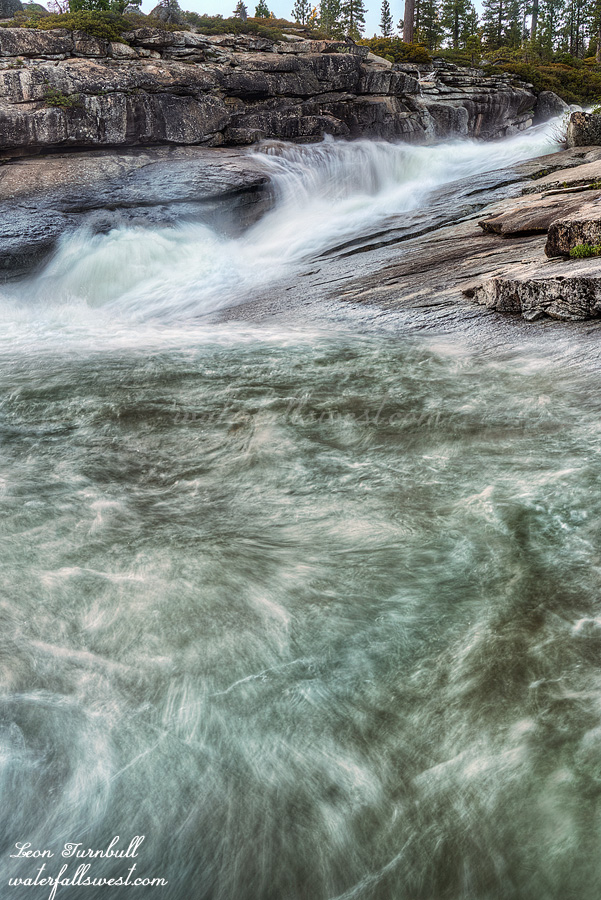
In the evening, the sun finally dipped below the mountains, and I went down to take my photographs. The middle falls is not very comparable to the huge waterfall downstream (it is only 28 ft. high), but the creek was rushing fast and furious down the granite rock, and it is a very exciting slide. It was a (surprisingly) cold night, but I slept fairly well. I would have to get up very early the next morning.
No Comments

FRIEND OF THE DEVIL

As of April 1, the rainfall is at 80% of normal (northern CA), 79% (Central CA), 64% (South). The snowpack is at 47% of normal (northern Sierra), 64% (Central Sierra), 55% (Southern Sierra). March was the fifth wettest March on record, thanks to three very big storms. With those 3 storms, we went up from about 20% snow pack to 50% snow pack.

So was it a true Miracle March, as many people are saying? I would say yes and no. First and foremost, I thank and praise God for all the rain we received in March. Many people were praying for rain, and He answered that prayer. The snow pack more than doubled in one month, as did the overall rainfall. It would have been very depressing indeed without that March rain. Nonetheless, overall, a 50% snow pack is still very dismal and awful. The good news is there is rain continuing into April. This rain will probably bring us up close to 100% of normal for precipitation, but it will not add much to the snow pack, unfortunately.

All right, on to the waterfalls …

I have been sick recently and I have not been out hiking much. Also, I just had dental surgery and now I am out of commission for this weekend in recovery. However, in between those things, I did manage to get in one new visit to an old friend. The Devil is most certainly NOT my friend. However, his waterfall is not too shabby, mostly because it is very easy to get to. Except for that darn road.

I have not been down here since the storm damage of 2017. The road was closed for most of last winter, and only opened again in the summer. I was dreading the drive down. It was an awful road before. What would it be like now? It seemed maybe a slight bit narrower and a slight bit rougher on the way down. Or was that just my imagination? It was probably the latter, I suppose. The main thing I hate about the road is that it is so narrow, unfathomably narrow in some spots, with horrendous dropoffs. If any cars are coming in the opposite direction, there is no way to pass. Thankfully, I saw no one.

However …on the other side of the river, the half mile up to Devils Falls, the road was most certainly much worse. There are huge ruts in the road now where there was none before. A four wheel drive seems a necessity now.

In addition to seeing Devil’s Falls, I also tried to get to the upper falls, and also down to Shirttail Falls. When I did those hikes before, it was shortly after the fire, and pretty easy to get to them. No brush, no poison oak. Now the brush is back and the poison oak is back. In force. The poison oak was humongous. I did NOT want to get into any oak. It was not worth it. I decided to turn around. I finished photographing Devil’s, then drove went back up the mountain. There was a big storm coming in, and it was good to get off that crazy road before it all started.

No Comments

NEED A MIRACLE

As of March 1, the rain fall in California is at 59% of normal (north), 38% (central), and 27% (south). The snow pack is at 20% of normal (northern CA), 27% (central Sierra), and 22% (southern Sierra). Pretty darn pathetic. This is not counting the big storm we had this weekend. That storm will up those totals a bit, and there is more rain in the forecast in the next couple weeks. But will we get a miracle March? It remains to be seen, and I am hopeful and praying, but we need a heck of a lot more big storms.

This weekend, I wanted to go up into the snow and do some snowshoeing. My thought was to hike to Grouse Falls in the snow. However, there was a lot more snow than expected. There was snow in the town of Foresthill, and quite a lot. Driving down Mosquito Ridge Rd was pretty dicey. (with huge dropoffs along the road, don’t forget). I could not drive as close to Grouse Falls as I had hoped. I probably could have done the hike, but it would have been a much longer hike than I wanted to do. So instead, I drove back down to the bridge over the North Fork of the Middle Fork American River, and hiked the trail up the river from there. It is something I’ve always wanted to do but hadn’t done yet (there are no waterfalls, which is probably why I haven’t hiked it). Unfortunately, the trail was much shorter than I thought it would be or hoped it would be. After 1.5 miles, the trail ended. So I hiked back, drove to the Auburn Confluence and hiked the short mile to Black Hole of Calcutta Falls.

It was raining when I started the hike, but by the time I got to the falls, it was sunny. I waited and waited for the clouds to come back, and when they did, I took some photos, and hiked back to the car, just as it started raining again. An interesting thing about this waterfall is there is a new bridge over the creek here. I have not been to the waterfall in four years, and there was no bridge back at that time. When I saw a photo of the waterfall recently, with the new bridge in the foreground, I was utterly confused. At first, I thought it was a different waterfall that I had not known about before! I even went on a hike awhile back on another trail, thinking the falls must be on that trail somewhere. Well I finally I figured out the waterfall was indeed Black Hole of Calcutta with a brand new bridge. So weird. (btw, I did not take a photo of the new bridge – but I did take a photo from the first hike I did along the river)

No Comments