FEAR
I went out hiking on Sunday afternoon. This is what I observed…
Firstly, I went up into the snow at higher elevation. There was 7 feet of fresh snow on the ground, and it was not compacted. I took 10 steps with my snowshoes on and sunk in at least 6-12 inches on each step. On the eleventh step, I sunk in 3 feet, and barely stopped myself from sinking in more. This was extremely dangerous. I could easily sink in 5 feet and not be able to get out. I quickly went back to the car and drove to lower elevation at Jenkinson Lake. There was 3 feet of snow on the ground here, but it was a lot better for snowshoeing.
So … I am not a little concerned with what I have seen lately and what is to come.
The fear and mass hysteria that the media has created is overwhelming, causing people to buy up all the toilet paper and bread and other items. The national parks and state parks are now closed. I am upset about this. Some people say it is necessary but I disagree. It is not necessary. *IF* people would just follow the “rules”. There is nothing wrong or dangerous or infectious about hiking. It is the safest activity you can do. People are saying on Facebook to stay home. Do not go hiking. Someone actually said you cannot even drive anywhere to go on a hike. Honestly, respectfully, if you are in such a state of fear, you should not be going anywhere, especially not to the grocery store. If you are going to get the virus anywhere, it is going to be at the grocery store. It will not be on a hike.
Do not be in fear as the media wants you to be. God is in control, just trust in Him and believe in Him. Please. The Bible states that in the end times, billions of people are going to die. Not thousands. Billions. Why? Because at that time, most everyone on Earth has rejected God and His love, and has turned to evil. We are not in the end times (though it may not be far off). This event (events) will happen in the future for certain. Every Bible prophesy in the past has always come true, and the future prophecies will also come true. You should be in fear for those days (if you are not a believer), but not for today.
Here is the problem today, however: Some people are ruining it for everyone else. This is why the national parks are closed. People are not following the guidelines and staying 6 feet away from others. This is why the national forests are going to close as well. I think this has happened in Utah already. Very soon, we will not have any hiking at all. I have seen this disregard in a number of places, in southern California for instance (people flocking to the beaches and other hiking trails). I saw it first hand at Jenkinson Lake as well. There were a ton of people out at the lake, playing in the snow, sledding, four wheeling, and shooting targets (annoying). They were not keeping safe distances. They are going to ruin it for everyone else (all of us who are respectful). This is what upsets me the most.
I drove as far as I could on the road through the snow, and then decided to park and walk the rest of the way to my turnoff. A lot of big jeeps and trucks passed me as I walked along the road. They were all congregated (of course) at the exact spot on the road where I wanted to turn off. In order to avoid them, I put on my snowshoes before I got to the turn off, and went down the snow bank. From there I continued on a 3 foot snow covered trail down towards the lake. I did not encounter anyone from here to the waterfall.
There were no tracks on the trail and it was tough going. I realized that this route was going to take too long. I would have to turn back. But wait. What if I just went straight down to the lake (off the trail). The forest was open, and it was not very steep at all. This would cut off a heckuva lot of time and mileage. So this is what I did, and made it down to the lake in short order. Once down at the lake, I found quite a few other tracks. Obviously many people had been to the falls recently, although it would have been a much longer hike for them because the park was closed.
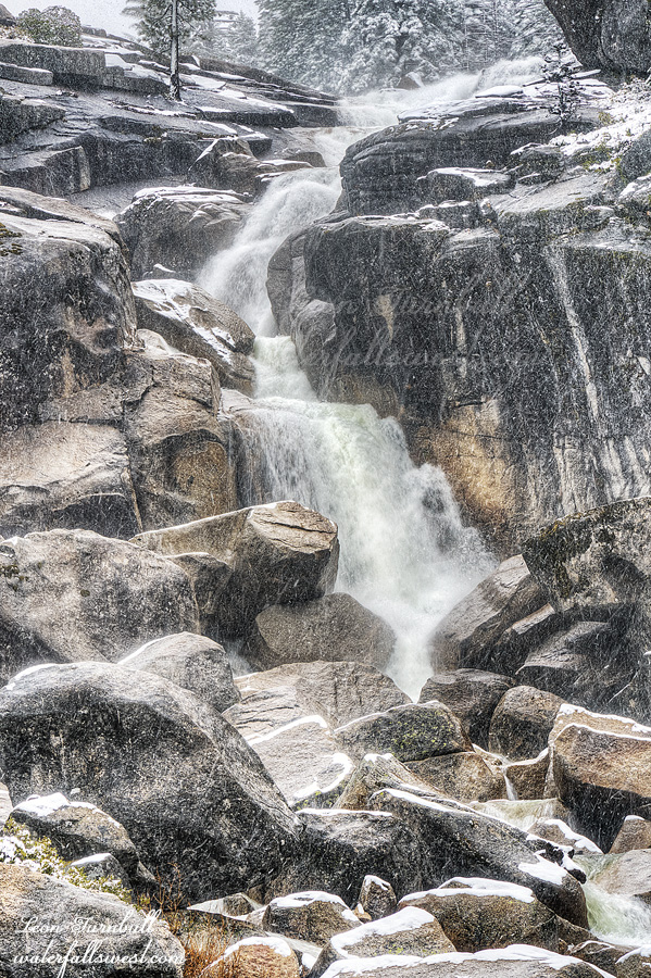
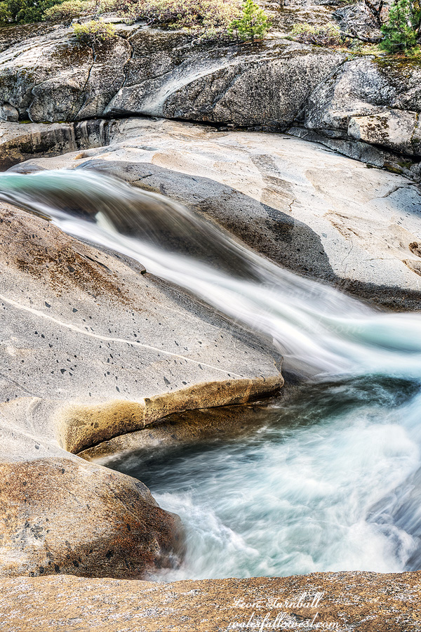
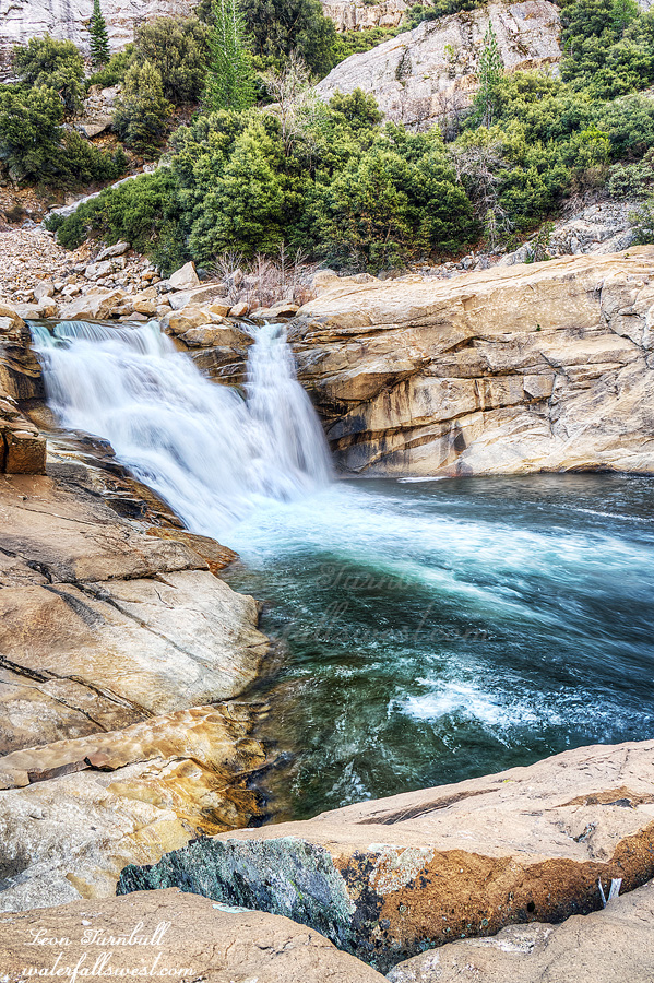
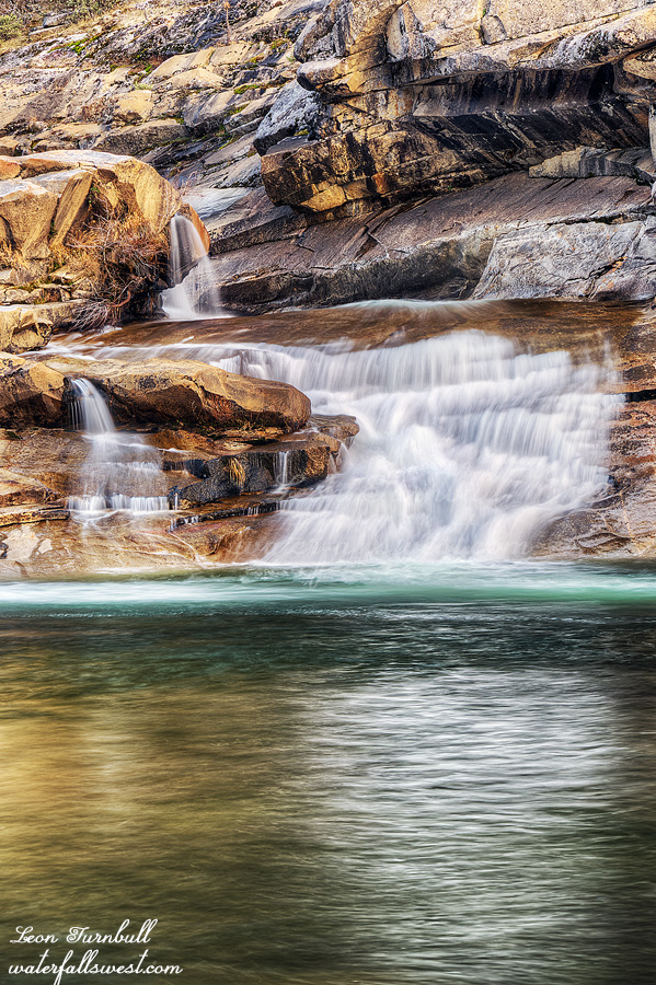
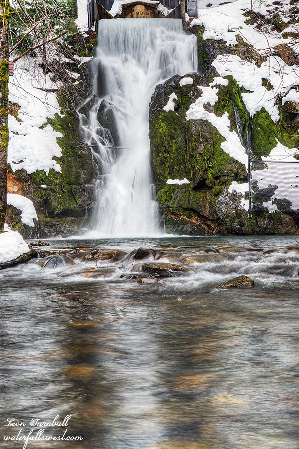
I got to the waterfall (it is man-made, if you did not know this). I took some photos and video, and then started hiking back. It was getting late. I was not sure if I would make it back before dark, but the return hike went very quickly. Even though it was uphill, it was easier because I had already broken ground. I got back to the main road. My feet were wet and cold. There were still a lot of other people out, and some were still driving up the road from town, even this late, which I thought was a bit ridiculous. Anyway, I had a great and SAFE hike in the soon to be closed Eldorado National Forest. ( I do hope I am wrong about that but ..)