December was a great month for California. As of Jan 1, we are now at 158% of normal for rain in northern CA, 156% (central Sierra) and 145% (southern Sierra). Even better is the snow pack: 135% (north), 148% (central), 160% (south). All this came from just two big storms in December including the last storm that dumped about 10 feet of snow in Tahoe! We went from 10% of normal to over 135%. A lot of people are saying that this is too much! But you are wrong if you are thinking that. The overall snow pack (for the year) is only at 50%. If it does not snow for the rest of the winter then we will still be in a bad drought situation and after a huge December it looks like January is going to be dry (at least the first half). We still have 3 more months of winter though so hopefully we will get a lot more snow and end this mini drought for good.
Anyhow, we arrived home from Canada on Sunday. Since I had Monday off work I decided to go hiking. I was tired from the long drive but the conditions seemed perfect and irresistible: a cloudy day with lots of recent rain. Table Mountain in Oroville should be fantastic. Right?
I arrived at the trailhead at 7:30AM. I was the only one there. I only saw one other couple on Table Mountain the entire day. It is funny. In the spring the parking lot is completely overflowing every day of the week but in the winter? No one! The cows are a different beast, however. They were in angry mode today. They were all standing in the middle of the trail defiantly blocking my path and peering furiously at me the entire time. I had to go way off trail to get around them, through the mud in some cases. I probably walked an extra mile to get around them. As I walked by they would start trotting towards me. I thought one of them was going to charge me. Seriously. Crazy killer cows. In the words of George Castanza: The cows were angry that day, my friends. My wife laughs at me. She says why are you afraid of cows and not afraid of bears? Well … I’m not totally afraid of the cows, only slightly afraid of them. Ha ha.
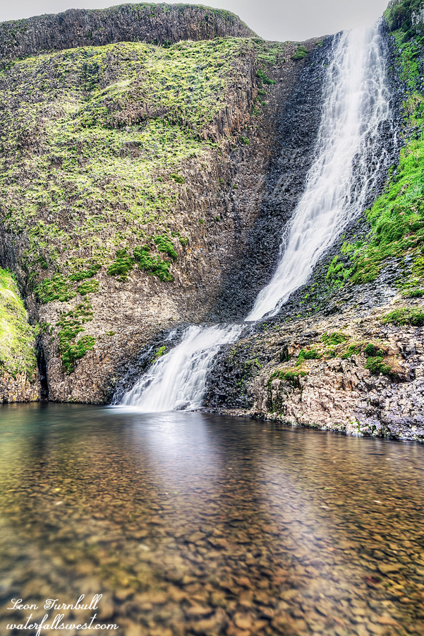
I stopped at Hollow Falls first. I have to admit I was quite disappointed in the water flows on Table Mountain. It was only about 7 days since the big storm and the flows are already down significantly. I was expecting a lot more. This is going to make me re-think my hiking plans for the next couple weekends. I was even more upset about another thing: some idiot left their poop (from their dog?) in a plastic bag under a rock right at the base of the waterfall right in the middle of the foot path, in the perfect place for everyone to see and have to step over as they visit the falls. Argh … who does this????? It is so annoying. Almost as bad is that no one else bothered to pick it up. It was obviously there for a long time and you literally could not miss seeing it if you went to Hollow Falls. Well don’t worry, it is not there anymore.
After visiting Hollow Falls I continued on my hike to see more waterfalls. Where would I go next? Phantom? Beatson? Something else? Stay tuned to find out …
Posted in Northern CA, Waterfalls by leapin26: January 5, 2022

We were headed up to northern California for the weekend to celebrate Christmas with my wife’s family. She went up early so I had to bring the kids with me on Saturday morning. The thing is, I wanted to stop for a hike on the way up north. The problem is, the kids did not want to hike with me.
My son Jadon would literally rather sit in the cold car for three hours than go on a hike. I have failed him miserably. It is very disappointing to me and I don’t understand it. At least Nekoda has a good excuse: she is injured from dancing. She probably would have come hiking otherwise but the problem is that she is ALWAYS injured from dancing. I guess that is just the normal life of a dancer.
So … I was still going to hike. They can sit in the cold car if that is what they want to do. I decided a good hike to do would be Lovejoy Falls in Chico. I just found out about this waterfall last year. It is shocking that I never knew about this waterfall before. It is well marked along a popular trail in a popular park. How could I not know about this one? It is strange. It is on a very small drainage but with all the recent rain I figured that it should be flowing well.
The hike begins with a big 600 ft. descent down into the canyon which I would have to go back up later. Maybe it’s a good thing the kids stayed in the car. They would not have liked hiking back up this! For me though it was no issue and I looked forward to the climb at the end (seriously – but I am a bit strange). Once down at the bottom the trail meanders along the ridge through a beautiful lush forested area to the top of Lovejoy Falls, and then continues down to the bottom of the falls. It was a very peaceful hike. No one else was on the trail. It was a gorgeous day.
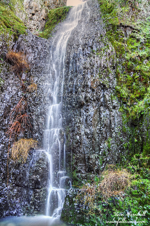
Lovejoy Falls is 51 ft. high dropping off a big cliff into a very small pool. There is a big rock wall you climb up on right in front of the falls which is quite interesting. I thought it would have a lot more flow than it did but nonetheless the waterfall is very pretty. A couple other hikers came up to the falls just as I was leaving but otherwise I saw absolutely no one for the entire hike. It was a beautiful day in Chico and a beautiful hike to Lovejoy Falls.
Posted in Northern CA, Waterfalls by leapin26: December 19, 2021

This is Lower West Fork Deep Creek Falls, 55 ft. high.
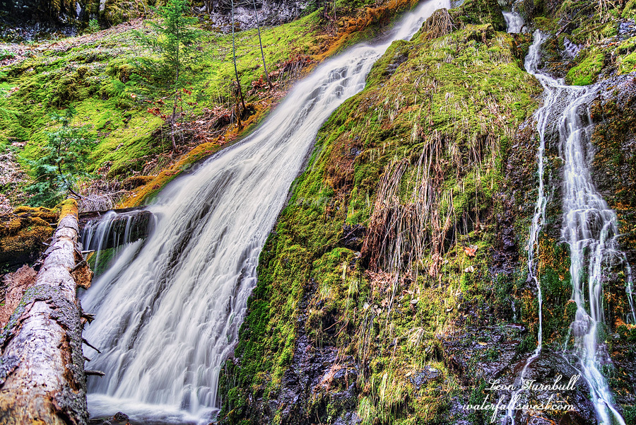
On my way down from the upper falls I came to the brink of a cliff. A big one. I was at the top of a waterfall which should not be here. The topo map does not indicate that there should be any steep drop here. Indeed according to the map the terrain should be pretty mellow. It was a huge surprise to find this waterfall here. I like surprises but how on earth am I going to get down? I crossed the creek at the top of the falls and traversed along the ridge away from the falls. There was actually a path. Was it human or bear? It led away from the cliff to a spot where I could get down easily enough but then it continued away from the waterfall. I had to get back to the waterfall to photograph it so I left the path and headed straight down to the bottom of the falls. This one reminded me a lot of Russian Gulch Falls on the California coast, complete with the log across the middle of it. It is another beauty.
Posted in Northern CA, Waterfalls by leapin26: December 1, 2021

BLACK FRIDAY. It is my favorite day of the entire year to go hiking. While everyone else is out pushing and shoving and trampling others to get their favorite expensive TV, you can find me out on the trail. Or in this case, off the trails. These days it is more popular for people to go hiking on Black Friday but I was doing it long before it was cool. Nonetheless, even on the best of days you won’t find anyone else on this particular trail. That is because there is no trail. In other words it was extremely difficult. But oh yah it was awesome.
I left the house at 5:30AM. There were a lot of cars out on the road already. That is normally not a surprise on Black Friday but in these COVID days perhaps it is a bit of surprise. None of them were going in my direction since I was heading out of the city and into the mountains.
The road to the trailhead is a bit interesting. I could not find it at first and in fact I thought there was no road at all anymore so I parked the car and started hiking. I finally found the actual road after a short walk so I went back to the car and tried to drive it. I got less than a mile and came to a huge mud pit. I did not want to drive through this and get stuck, so again parked the car and started walking. All that running around put me 45 minutes late starting my hike and added 9 miles round trip since I was now going to have to walk the road. I was prepared physically for the extra miles but not mentally. I was ready for a short difficult hike, not a long difficult hike. About half way along the road walk there was a huge landslide that had wiped out the road. Obviously I would not have been able to drive past this anyway. I suspect it has been there for years and they will never repair it. That also means the campground at the end of the road has been completely abandoned and not used anymore. It sure looked like it had been abandoned.
My biggest concern was that the creek would be completely dry. We had lots of rain in October but since then pretty much nada. I thought I would come to a dry creek after 4.5 miles of hiking and have to turn right around. Much to my surprise the creek had a very strong flow. The waterfalls would definitely be flowing nice. Now the next question is: can I even get to them?
There is no trail going up the creek. I came across occasional bear paths, or so it seemed, but essentially I had to scramble up beside the creek, crossing it numerous times to find the best path. It started out quite fun. Before long, the fun deteriorated into type 2 fun. Then type 3 fun. Then not fun at all. The route became more and more brushy. More and more difficult. More and more cliffy. More and more crazy.
I was almost at the first waterfall when I came to a complete dead end. There was no way to continue up the creek. Both sides of the creek were walled in by cliffs. There was no way around it. Somehow a friend of mine made it but I could not see how to do it. There was a big log to scramble over along the top of a cliff. It just seemed way too dangerous to me. I gave it a strong effort but I finally decided to turn back. By this time it was quite late and I was beat down tired. I had not really been planning to go to the second waterfall because of this, however, my route back took me interestingly close to the other waterfall. It was after 12PM but there was a good chance it was still in shade and perhaps it would not be so cliffy as the first one. It was certainly very brushy getting up to it but it was not cliffy. I made it. And it was absolutely gorgeous!
I reached the bottom of the falls, an incredible 163 ft. high cascade. The top part of the waterfall reminds me of Proxy Falls in Oregon. This is not Oregon folks. I was stunned. It was so beautiful. I don’t know of anyone that has been to this waterfall before. Hidden away deep in Shasta Trinity National Forest. No trail. Very difficult access. Type 4 not fun. And absolutely worth the effort to find it.
On the way back down I took a route straight down the creek back to the confluence thinking it should be easy enough (though perhaps not “fun”). Before long I had a big problem. I was cliffed out. There was another waterfall here and it was a big one. There should not be a waterfall here. How am I going to get around this? I certainly did not want to retreat up the mountain again and back down the route I took before. That would take forever. Fortunately I found a way around the cliff that was not too difficult and came to the bottom of this surprising waterfall. It was another beauty, this one 55 ft. high. (stay tuned for my next post)
It was almost dark by the time I got back to my car. I was essentially hiking from sunrise to sunset. I was beat tired. I was cramping. I was happy. It was another awesome Black Friday.
Posted in Northern CA, Waterfalls by leapin26: November 27, 2021

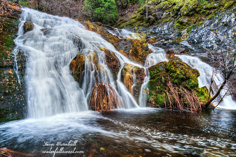
After photographing Secret Falls I continued upstream along Bull Creek. I knew there was another waterfall here but I was not expecting much. I thought it would be at most 20 ft. high, perhaps less. Much to my surprise, it was an absolute beauty! It was even better than the first one. To my eye it seemed the falls were a bit taller than 30 ft. (and I was right as it was pretty close to 30 ft.). It is 28 ft. high, bigger than I thought it would be. Eight feet may not seem like much but sometimes it makes a huge difference (such as in this case). It is an extremely gorgeous waterfall. Again, another first discovery by waterfallswest.
I took photos from both sides of the creek, taking my good sweet time. It was getting close to noon now. I still had to climb out of this canyon. It was a tough climb.When I got back to the road I ate my lunch, then I still had 5 miles to hike back to the car. Mostly uphill.
I got back to my car at 3PM. I was tired. The hike took longer than anticipated but I was happy. I had all day so I was not in a rush to get home. There was a problem with the car as I drove back. I could not figure out how to fix it. Basically I could not drive more than 45mph. Not good. Driving at this slow speed all the way back home? That is not going to work. When I got to Paradise I tried to find an auto repair shop. It was getting late but hopefully I could find something. The first two places I tried were no longer in business because they had burned down in the Camp Fire. I saw a lot of places like this burned (businesses and houses) as I drove through the town. Some places were rebuilding but a lot of empty burned out places remained. It was quite sad. So were there any auto repair shops left in the town? The third place I went was not burned but it was closed. Finally, I found a fourth place that was open. He fixed my car in a couple minutes and I was on my way home. Yay.
I stopped at Jakes in Oroville for dinner. They have the absolute best burgers anywhere. I had not been there in a couple years so I really missed them. Bull-licious! It was a fantastic day in Lassen National Forest.
Posted in Northern CA, Waterfalls by leapin26: November 10, 2021


