I’ve been wanting to do this hike for awhile. I tried in winter once before but failed. It is just 0.7 miles (1.1km for my sister) but gains 1300 ft. in elevation (396m for my sister). It is no joke. It is also not Journey friendly. So I got up early and drove out to the trailhead by myself.
There’s no parking along the road so I had to drive an extra half mile to a turnout. Not a big deal.
The trail climbs steadily for the entire hike. However, it wasn’t so steep that I was on all fours. It reminded me of the hike up to Ribbon Falls but that one was much harder.
The lower part is fairly easy and the trail is well marked with cairns. Then you come to a talus field to cross. This is the part that would be too difficult for Journey. I think she could have done it if we were careful but she definitely wouldn’t have liked it. After the talus the cairns disappeared. I was not sure which way to go so obviously I went the wrong way. Other people had certainly gone this way but I ended up on the wrong side of the creek. I crossed it and climbed up the steep bank on the other side. All of a sudden, the ground started to give way under my feet and I started sliding down and off the cliff. I caught myself just in time. It was only 20 feet so it would not have killed me but it probably would have hurt. I did end up getting a big cut on my hand as I scrambled to catch myself sliding.
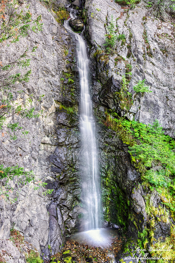
I found the proper trail and continued to the waterfall view point. Maryanne Falls is 45 feet high and it is a beauty. It is bigger than I expected. It looked too difficult to get to the bottom so I did not bother but I enjoyed the view point and flew the drone a bit. Then I scurried down the mountain and back to the house to get coffee. My wife and Journey were still sleeping. It was a perfect morning on Day 4 of the Canada road trip in the East Kootenay of British Columbia.