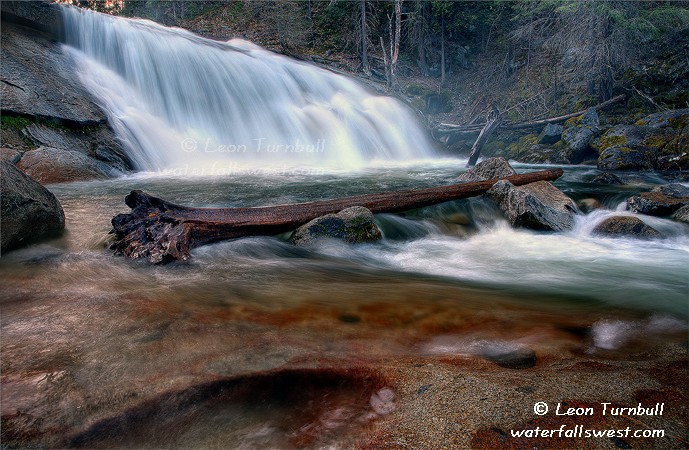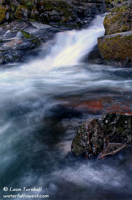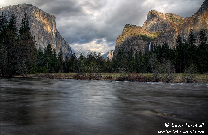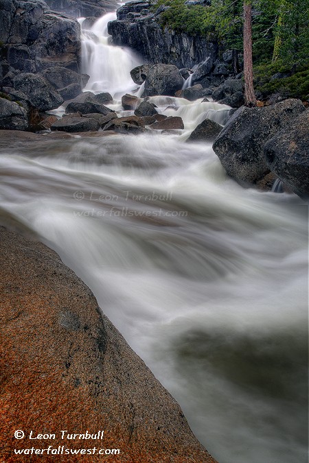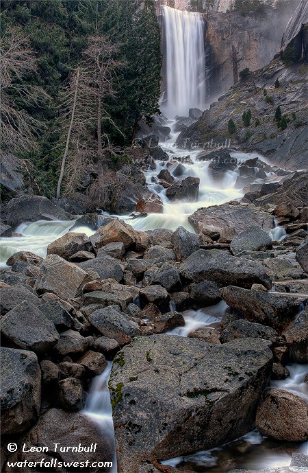
Vernal Falls is one of my favourite waterfalls in Yosemite. It is not one of the more uncommon falls there, as I said that I was going to be doing more of this trip. But my hike on Day 2 was certainly of the uncommon variety. My plan was to hike about 15 miles in total, up past Vernal and Nevada Falls, all the way to Bunnell Cascade on the Merced River. Along the way, I would see 3 new waterfalls (not counting Vernal and Nevada). After hiking 9 miles the previous day, the big question was could I do it?
It was a cold sleep the night before. I had a campsite in Lower Pines campground, and was sleeping in my SUV. I had made reservations only a couple weeks before the trip, and was fortunate to get a site. I think I managed to snag the very last campsite in the valley. I wasn’t expecting there to be so many people at Yosemite in April. I should have known better. Anyway, I woke up at about 5:30AM, and I seriously considered staying in my sleeping bag, but I wasn’t warm even in my sleeping bag, so I forced myself up and out.
I made it up to Vernal Falls at about sunrise, and took a couple photos of my favourite waterfall, which was flowing as good as it gets. I knew it would be rather wet hiking up past it on the Mist Trail. The Mist Trail is perhaps the best waterfall hike in the country. It just doesn’t get any better than hiking up alongside a huge waterfall, getting drenched by its spray, and then continuing up to the top alongside another huge waterfall (Nevada Falls). The only problem of course, is the amount of people that go on this trail. But you would think that at sunrise, I would be the only one on the trail. Almost, but not quite. A group of older Japanese men were also up early hiking this day, and I met them up on the Mist Trail. The Mist Trail was a problem. Because it was so cold, it was ice! The steps were incredibly slippery. One missed step, and boom. You could easily fall and seriously injure yourself. I was extremely careful walking up the steps. I made it up without incident, and so did the Japanese men.
At the top, I left the Japanese and continued up quickly to Nevada Falls. I have yet to get a good photograph of Nevada Falls. The sun was already starting to crest above the top of the falls, and I figured I’d be too late again. And I was too late, but the bigger problem was all the mist at the falls anyway. I still do not have a good photo of Nevada Falls. Next time, I tell you, I’m gonna get a good one. No matter what it takes. I promise.
Well, I was quite cold by the time I got up to the top of Nevada Falls. My gloves were useless, because they were still wet from my blizzard hike the previous day to Chilnualna. Fortunately, the sun was out now, and hopefully it would warm me up. Once above Nevada, the trail becomes very flat as you hike up Little Yosemite Valley. That’s a good thing. I had to hike 4.5 miles (one way) up the valley to my destination. I felt very good, and was pretty sure I would be able to complete my intended hike, even though it would take all day.
I encountered snow along the trail now, at about 6500 ft. elevation. It was not difficult to hike through, but it does take more effort to hike through snow, and I would need all the energy I could muster for this hike. I also encountered a couple backpackers who were going up to Merced Lake (which is quite a ways past Bunnell Cascade, my destination).
The first waterfall I encountered was a surprise: Merced River Falls. A fabulous water slide along the Merced River, 58 ft. high. I did not expect such a big waterfall here, I was expecting something in the neighborhood of 20 or 30 ft. The river was just roaring down the slide, creating a cool rooster-tail at the top of it. It would make for a great water slide, if not for the water being so cold and you’d probably drown as well if you tried it. The sun was out and very harsh by this time, as I expected. I was not able to get good photos of course, but they are posted on my regular website.
About a mile above this first waterfall is Bunnell Cascade. I arrived at about noon. It is very similar to Merced River Falls, a long spectacular slide along the Merced River. It is just slightly smaller than the first waterfall, 53 ft. high. I think I preferred Merced River Falls over Bunnell Cascade, but both are amazing to see. I found another waterfall dropping off the cliffs near Bunnell Cascade. This was an unnamed waterfall on unnamed cliffs, and it just flows in the spring when the snow is melting. But it was a pretty interesting waterfall.
It was quite cold at Bunnell Cascade, and I had to find a secluded spot to eat my lunch out of the wind. After eating, I made the long trek back down. By this time, my back and shoulders were in a lot of pain from the heavy camera gear in my backpack. And my feet were also starting to feel very sore, and blisters were forming. I took my time on the hike back. Along the way, I encountered more backpackers and hikers. Once I finally arrived back at Nevada Falls, though, there must have been about a thousand other people on the trail. I hurried down from the top of Nevada Falls as fast as I could to get by all the slow hikers. My blistered feet did not thank me for that. I finally arrived back at the car at about 4PM, tired, sore, and hungry.
My only thought was to get some hot food for dinner. I stopped at Curry Village, and ordered a medium pizza. While waiting for the pizza, I called my wife to talk to her and tell her I survived the killer hike. As I was sitting outside on the deck, a darn squirrel came up and pecked me in the leg! What the hey? I don’t even have any food yet, squirrel! Then it came at me again. This time, I kicked it in the head. Don’t worry, all you animal lovers out there. It was just a very gentle nudge! But he left me alone after that. I’m sure my mother-in-law will not be happy with me, as she is a huge squirrel lover. Anyway, the pizza was sooooo goooood, and I ate 6 of the 8 pieces, I was so hungry. I think that’s why I actually gained weight this weekend, instead of losing weight from all the hiking I did.