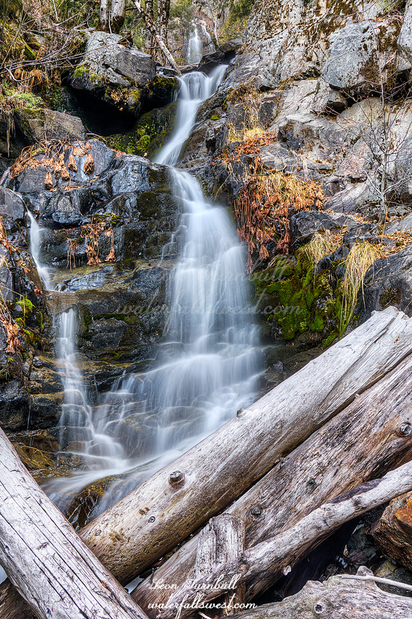
I was surprised there was no snow (or not much) at the trailhead at 5500 ft. elevation. I did not think I’d be able to drive up there, but when I looked at the satellite, I did not see much snow. Maybe this hike to Spruce Creek Falls would be a good one to do right now.
There was maybe just a couple inches of snow so it was easy to drive to the trailhead. It was icy, however. I had fun sliding along the ice as I hiked down the road. Coming back up later would be a bit more difficult. The road crosses Spruce Creek a few minutes into the hike. It was just barely flowing. I really considered just turning back now. But I drove all the way up here. I figured I should at least do a hike down to where I need to get off the road and scramble down to the falls (3 miles of road walking). If the creek is just a trickle down there, then I would not do the off trail (very difficult) part of the hike.
It is about a 1400 ft. descent down to the falls (900 on the road). When I got down to the end of the road, I could hear the creek flowing much better (I could not see it from the road). Ok then, maybe I will continue as planned. I have tried this hike once before, but I found it too steep and cliffy. I returned this time with rope and with a better planned route. (so I thought). The cliffs get really crazy near the top of the waterfall. Cliff cliff, everywhere a cliff. There is no way down. But there is! I found a path leading down to the bottom of the lower tier of the falls. The last section was very steep and indeed I needed to use my rope for safety. I made it down successfully.
This lower tier of Spruce Creek Falls is 39 ft. high. It is quite nice, and you can see the upper tier in my photo. It is much bigger. Unfortunately, I could not find a way up to it. It is extremely sketchy and I did not have any more rope. I was also out of time. I will return in the spring with more rope and more time and more determination.
It was dark when I got back to my car at 5:30PM. It was a cliffy day in Tahoe National Forest.
Posted in Northern Sierra, Waterfalls by leapin26: January 20, 2021
Hike number five of my Christmas vacation. And the last.
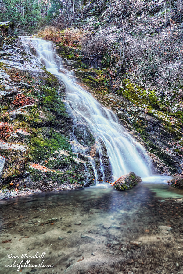
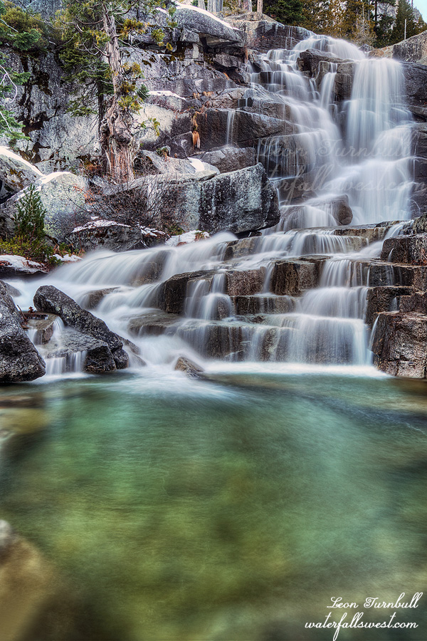
Mill Creek Falls is definitely my favorite snowshoe hike. It is perfect. You can drive right to the trailhead (the road is plowed). There is always a lot of snow there (five feet or so when I went). It is a good distance hike but not hard (2.5 miles one way) … And, most importantly, there’s a beautiful waterfall at the end!
This is the second time I’ve snowshoed here. I went a couple years ago with my wife, but this time I was all alone and I had brand new snowshoes to try out (a Christmas gift, half of which was from Tara – thanks hun!). Last time no one had been on the trail and we were making our own path through the snow. This time there was a well trodden path the whole way. Technically, I did not even need snowshoes but I wore them anyway cuz I did not want to carry them. I made very good time to the waterfall. It was absolutely gorgeous.
After taking photographs, I continued on the trail past Mill Creek Falls. There were zero tracks after the waterfall. I was making my own way through the virgin powder. The snowshoes handled awesomely in the deep soft snow. It was so incredibly beautiful. I went all the way to Crumbaugh Lake which was completely snowed and frozen over. It was amazing. I wanted to go further but it was tough going. It took two hours to hike the two mikes from the waterfall to the lake. I was out of time so I turned back. That was probably a good thing because it started snowing just when I got back to the car.
Even though the trail to Mill Creek Falls was so well trodden, I did not see anyone for the entire hike. I was a bit surprised about that. Interestingly however, I did see some ski tracks that came up the mountain after me (on the other side of the falls),but they turned off a different way and I never saw them. It was an incredibly beautiful and awesome snow day in Lassen Volcanic National Park.
Posted in Northern CA, Waterfalls by leapin26: January 18, 2021
So I made a deal with my kids. They had to go on at least one hike with me over the Holidays. Normally they would both rather stay home and play their video games or what not. They could choose which of the six hikes or so that I had planned. What would they choose? Easy or hard? Easy of course. They chose Whiskeytown Falls. Jadon has done this hike once before when he was three years old. That was some fifteen years ago. Nekoda hadn’t done it before. But somehow she remembered going to this waterfall before. How is that possible? Strange. Maybe she remembers it from her mother’s womb. I don’t know.
It was a Monday afternoon after Christmas. There were a lot of people out on the trail! I was not expecting so many people on a week day but I guess it’s still holidays for most people (like myself). The kids wanted to wear masks for the entire hike even when there was no one around us. When I’m out in the wilderness I refuse to wear a mask. Anyway, whatever. I’m just glad they came out with me.
It’s not exactly an “easy” hike. It is a moderate hike. It’s uphill the entire way. The kids were taking their sweet time. I was taking video. We were going slow. There was a family with small kids going faster than us. Eventually we passed them. I did not think they were going to make it. Their kids were whining and complaining very loudly. It was a tough uphill for them. (they did make it, however).
We got to the waterfall. All the other hikers including the family with kids came and left. It was chilly at the falls. We were alone. The kids waited patiently in the cold while I took all my photos. Finally I was done and we hiked back down the mountain quickly but we stopped off at Crystal Creek Falls first. (that *is* an easy hike). It was a very lovely Christmas hike with my kids at Whiskeytown Natl Recreation Area.
Posted in Northern CA, Waterfalls by leapin26: January 13, 2021
I was very warm in my two sleeping bags. I did not even need all my layers. I wore one pair of long underwear and four tops (only three for most of the night, but it got colder in the morning). That may seem like a lot to you, but it is winter! It was probably around 29 degrees just as the forecast said it would be. It did not seem very cold at all.
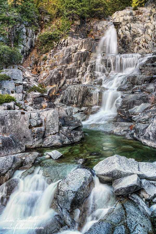
I slept fairly well and woke up at 7am. I was on the trail by 8:30am. It was supposedly just two miles to the lower Falls but actually it was 2.7 miles and much slower going because the entire walk is in the snow. I made it with only minutes to spare before it got into the sun but I did make it. It is an amazing 142 ft. high waterfall. I went down to the lower tier as well which I had not been to before (pic coming later). Photographs were taken. Now I could finally relax. Back up on the trail I made some coffee and sat down in the warm sun. I could take my time and enjoy it. It was December 24, Christmas Eve. I still had to get back to my family before Santa came but I had lots of time.
It is a long five miles back to my car but all downhill. I arrived back at the car at 1pm. I did not see a single person for the entire trip until I literally got back to the trailhead when I saw an old couple going out on a day hike. They said it was just 21 degrees in town that morning. It was definitely not that cold up on the mountain. It is so strange how it can be so much warmer 2000 ft. higher up the mountain. It was an awesome winter trip in the Trinity Alps Wilderness.
Posted in Northern CA, Waterfalls by leapin26: January 10, 2021
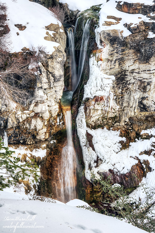
Hike number three of my vacation. Winter backpacking. In the snow. Yes, you heard that right. Am I utterly mad? The destination: Canyon Creek Falls in the Trinity Alps Wilderness.
The forecast said 29 degrees. This would be the coldest I’ve ever backpacked. There would be snow as well.
I was not worried about freezing to death. I had two sleeping bags and plenty of warm clothes. I had my snowshoes as well. My pack was heavy. I did not weigh it (I was afraid to).
It was only 25 degrees when I arrived at the trailhead. I had to climb 2000 ft. up the canyon. Would it really only be 29 that night? I wondered.
There was no snow at the trailhead. I did not know if I should wear my hiking boots or my snow boots. If I chose hiking boots it would be easier for the first half of the hike but then my feet would be wet and cold for the second half. If I chose snow boots then it would be uncomfortable for the first half but my feet would be warm and dry for the second half. I chose warm and dry feet. It was a very good choice.
I finally hit the snow at about 4000 feet but there was not much. There was also a well worn path through the snow. The entire way. I did not even need my snowshoes. I did not need my spikes or gaiters either (which I also brought). That’s a heckuva lot of weight I did not need to carry. However, on my last hike at Lake Tahoe I did not bring the snowshoes but then I needed them and so I could not finish my hike that day. I did not want the same thing to happen on this hike. I did not know what the conditions would be like 2000 ft. higher (so in other words, I don’t regret carrying them).
However, my memory failed me. I have done this hike once before and I remembered there being plenty of good camping at the upper Canyon Creek Falls. When I arrived, I only saw one small camping spot. That does not seem right. What happened to you, memory? Well, I had no choice. It was getting late. There was a bit of snow on the ground but not much. I setup my camp in the snow and ate my dinner. Then I went off to go photograph the upper Falls and the far upper Falls.
Far Upper Canyon Creek Falls (pictured here) is probably my favorite of all the waterfalls on Canyon Creek. There are three other ones that are bigger, but this one is just so pretty. It is 65 ft. high. Lo and behold, I saw plenty of terrific camping spots right near this waterfall. How did I not remember this? Well, it was too late to change my spot now. It was already very close to sunset. I took my photos and then went back down to photograph the upper Falls. It was pretty much dark when I arrived there and I’m not sure my pics of the lower falls will turn out very well, but I knew I would not have time in the morning cuz I still had to get down to the lower Falls. One reason I wanted to come back here to backpack is so that I would have more time to relax and enjoy the waterfalls. It did not turn out that way. I could not relax. There is just not enough daylight in the winter, and there were too many waterfalls to see and photograph. But I will definitely be back here in the future (in the spring).
It was dark at 5pm when I got back to camp. I went right into my tent to warm up and go to bed. I did watch a movie first, but it was still very early when I “attempted” to sleep…
Posted in Northern CA, Waterfalls by leapin26: January 6, 2021
