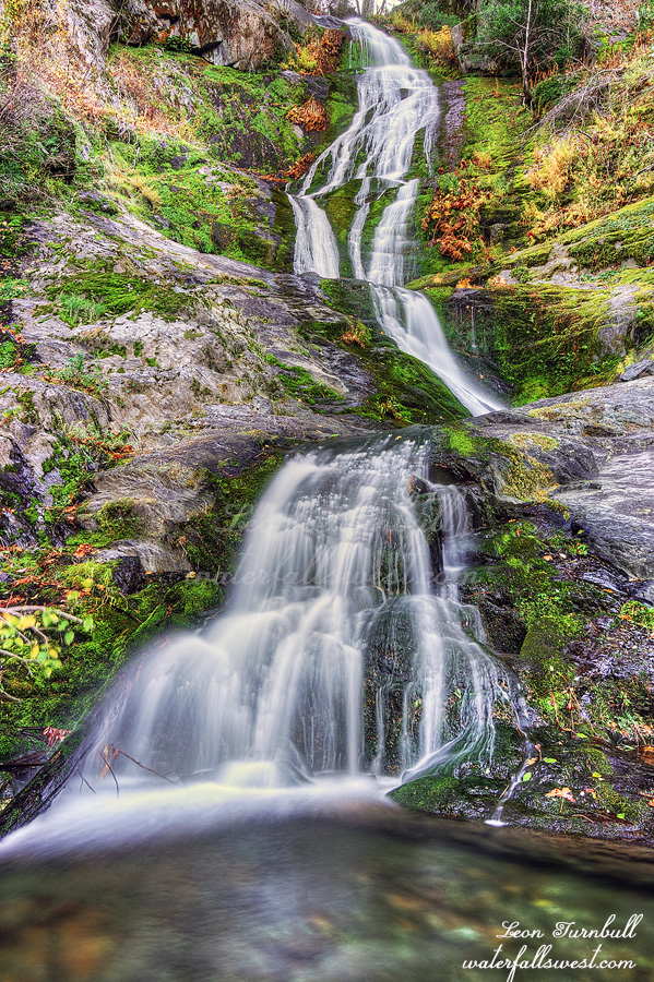
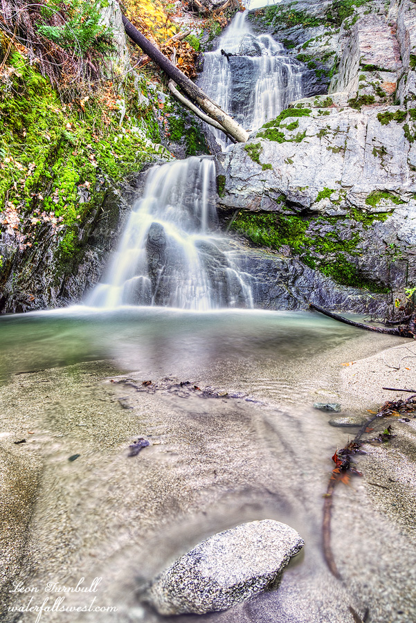
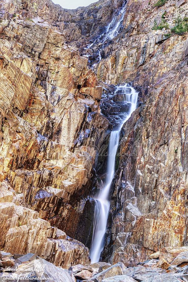
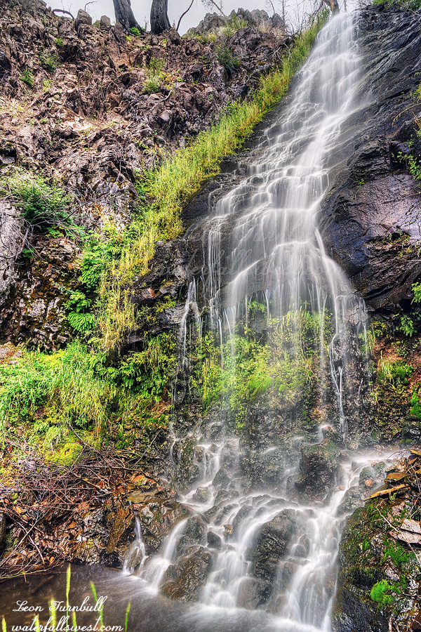
Meet Upper Bear Ranch Creek Falls, 112 ft. high. It took me four tries to get here and I was absolutely ecstatic that I finally made it.
I was in the area the prior week trying to get to this waterfall but it was an epic fail. After the Bear Fire in 2020 the brush has grown up tremendously. This route was now impassable. Before the fire I think this might have been a good route. Now, not a chance. Somehow while whacking through all the bushes I lost my Garmin Inreach. I was so mad at myself. I did not have it securely attached to my person and it fell off into the brush. I retraced my steps exactly but did not find it. Back at the top of the mountain, I had cell service so I called my wife and asked her to ping the device, which she did but there was no response. I figured it must be under some trees or logs and now is lost forever. Once I got back home I tried pinging it again. It was the same thing my wife did but this time I got a response! Now I had a location where it was and I could go back sometime and get it. But time was running out. Once it snowed I would not be able to go back until spring and snow was in the forecast for the next week. I literally had just one day to go back there, Sunday on my way home from visiting family up north for Thanksgiving weekend.
It would not be a difficult hike to go back. I figured just 6 miles round trip and 300 ft. of elevation gain. Thankfully it was not at the bottom of the canyon. I did not want to just go back to do this one hike, however. I decided to do a second hike first to another waterfall. I was not planning on Upper Bear Ranch Creek again, I was planning a different (easier) hike, but that also turned out to be far too brushy and impassable. Well …. what to do now?
I thought about taking a different route to Upper Bear Ranch Creek Falls. Perhaps it would not be as brushy. Heck, why not? I had all day. The new route was not so brushy, however, it was very steep and very cliffy. I had to be very careful in some spots. I got most of the way down the canyon and came to the top of a cliff. I thought I was done. I decided to just check out one more spot to see if it was passable and lo and behold, I was able to continue! Past the final cliff, I could forge on all the way down to the creek and to the waterfall. I was in shock that I actually made it down all the cliffs. I was in awe at the beauty of this majestic waterfall. I was so happy you have no idea. This one has been a long time in the making. I do not know of anyone else that has been here before.
I climbed back up the mountain 1700 ft. in elevation and back to my car. I was very tired but I still had a second hike to go retrieve my Garmin. Thankfully someone had cleared the fallen logs across the road and now I could drive much of it. Instead of a 6 mile hike it was more like 3 miles. I easily made it down to the area where the device was pinged. I could not see it. It was not in the exact location where it was supposed to be. I searched the area for about 20 minutes. I could not see it. Multiple passes. Praying fervently. I decided to make one last pass and then I saw it! I must have walked by it at least once without seeing the thing. I was so happy! Woo hoo! Thank you, Lord!
It was a fantastic day to see this amazing waterfall in Plumas National Forest.
Black Friday. Best day of the year to go shopping. Not! Best day of the year to go hiking. Absolutely! Journey and I were up again very early. This time: Whiskeytown Lake. It has been a long time since I’ve been to Boulder Creek Falls (15 years). It was closed after the Carr Fire of 2018 but is open now finally. I thought a return trip with Journey would be perfect. I could not get to the traditional trailhead. According to the park website, South Shore Dr. is now open. It was not open. How was I supposed to get to Boulder Creek Falls now? I knew the trail was open. Did I have to go on S. Shore Dr. from the other side? Honestly, I am not sure. However, I saw a sign for Boulder Creek Falls trailhead on this side of the lake. Weird. This was not the traditional route. I looked at my map and it seemed like it was possible to get to the waterfall from this side, and it looked to be about the same amount of mileage and elevation gain. OK then. Let’s hike!
It was a relatively easy, straightforward hike. Perhaps not as nice because a lot of it was on a road. At the end, there was one big boulder that Journey could not jump up so I had to lift her. And then there was a very narrow, rocky section along the creek. She did great. We arrived at the falls. It was flowing fairly nice, just about what I expected. I took some photos. Journey again waited patiently. The path to the upper waterfalls looked to be very overgrown and steep, and I did not really feel like going up there. Neither did Journey. We skipped it and hiked back.
Boulder Creek Falls is somewhat interesting now. First, it is a lot more photogenic than it used to be. A lot of the branches and logs in the waterfall are gone. Two, there used to be a bench to sit on but it’s long gone (a Carr Fire tragedy?). Three, the trail to the upper Falls used to be very nice but now it is overgrown and difficult to even see. Four, the trail I went on is a new trail. It is much shorter and easier than the traditional route. That is, if the road is open (which it wasn’t for me although I think it is open in the summer).
As soon as I got Journey back in the car, she immediately laid down and closed her eyes. She was completely pooped out from the hike. I was surprised. It was about the same distance hike as the previous day with just a little more elevation gain. I got her a hamburger. She perked up a bit for that but then slept when we got back to the house. She had an awesome but very tiring day at Whiskeytown Lake.
After photographing the lower Falls, I continued up the trail. I had only wanted to photograph waterfalls that had fall color, but I ended up photographing all of them anyway. Of course I knew the big waterfall would not have any fall color. The last section up to the big waterfall is very rocky, so I had to be extra careful because of my broken pinky toe. I made it up to the bottom of the falls and took photos. I did not go up on the steep and dangerous part to get a closer view of the waterfall. That probably would not have been a good idea. After photographing, I relaxed, had a snack, and then slowly walked back down the trail to the car. Taking my time, and enjoying the views. There were many people, as I mentioned earlier.
All in all, my toe was very good on the hike. It was a little bit achy, but there was no pain. I initially had thought about doing a second hike in the afternoon, but decided against it. I am sure I could’ve done it, but I thought I would just go home and relax for the rest of the weekend instead. After getting totally ripped off buying gas in Bridgeport, I arrived home in the afternoon, just in time to watch the hockey game. It was a glorious day in Lundy Canyon.
So … I really wanted to go hiking this weekend. It would be my only chance this year to see fall colors. My pinky toe was broken. My wife said I was dumb to go. It is a risky business. She was right of course. But it only hurts if I put my shoe on or if I stub it against something. Ummm, well I have to wear shoes when I am hiking, right? Huh. In all seriousness though, it was a thousand times better by the time the weekend came around. It was not really hurting anymore, even with shoes on. I decided to go to Lundy Canyon.
My primary objective for this hike was to photograph waterfalls with fall colors. I have been to Lundy Canyon before in October. (more than once). It is my favorite place to see waterfalls with Fall colors. This year, because of the big winter we had, I figured the creek would be flowing much better than normal. Indeed I saw a photo from a week prior and it looked pretty awesome. I was excited.
I got up at 2:30AM. Thankfully I was able to get quite a bit of sleep. Made my coffee. Made the long drive out to the Eastern Sierra. I arrived at the trailhead in the dark. Whenever I have been to Lundy Canyon before in October, I have gotten there before sunrise. And there has always been someone else that arrived there before me. Today was no exception. Who else would be so crazy to hike in the dark besides the Madman? Well, it is a very popular trail in the Fall. On the way back down from the falls I counted 25 groups of people on the trail. There are not 25 parking places so I don’t know where all these people parked their vehicles. Anyhow I’m not sure where the couple that arrived before me went. I did not see them on the trail. I guess they went to photograph the beaver pond. Speaking of which, there is now no more beaver pond at the waterfall. Someone destroyed all the beaver’s hard work. Poor little beavers.
I did not have to wait long for the light at the waterfall viewpoint. I took some photos. The colors were gorgeous. I also wanted photos from the base of the waterfall with Fall color as well and this time I was able to get that too. Already I had four good photos and I had only just started my hike. I was very happy. I could almost go home. Ha ha. The creek flow was noticeably lower than just one week ago. (from the photo I saw). I was a bit disappointed to see that but it was still more than I have ever seen it before in October. I was last here in 2012 (a drought year) and before that in 2009 (bad year) and 2005 (I think a good year – there was just a little more flow this year than in 2005). The colors were also better this year. Definitely a big win.
I’m sure you want to know all about how my toe was on the hike but I think I will save that for Part 2 … Sorry. ha ha.
On Sunday afternoon I decided to go back to Lassen again. There was still some lingering rain hanging around but I managed to avoid it on the hike.
It is not too difficult getting down to this waterfall. It is steep but not cliffy. It is not easy though and there are many loose rocks for breaking your ankle upon. It is also very well hidden. So well hidden that no one else knows it is here. I mean no one. Almost no one. I know of just one person that has been to this waterfall and he used the data on my website to find it.
It is a beauty though, if you can find it. Lower Bluff Falls is 47 ft. high. A lovely little hidden gem. It is also well named (I named it, thank you very much) because, just like the upper Bluff Falls, there is a bluff here at the lower falls as well.
Going back up the mountain is a tough climb but I felt much better on this hike (even though it was harder than Paradise Meadows). I guess I was just too tired the previous day. It was another beautiful discovery in Lassen Volcanic National Park.