DAY 1. TAKE IT EASY
I snagged a hard to get permit for Minaret Lake in the Ansel Adams Wilderness, a place I have wanted to go for a long time. My plan was to photograph Upper Minaret Falls in the evening, then hike up to the lake afterwards. However, it is a tough climb from the falls to the lake, and I probably would not make it there by sunset. By the time I got up there, it would be dark, and there would not be any good camping spots left as it is a popular place to camp, plus with no clouds in the forecast, there would not be much of a sunset at the lake anyway. A better option and a much easier option would be to just camp at the upper falls, and go up to the lake in the morning. Take it easy. Don’t let the sound of your own wheels make you crazy.
When I left the house, Hwy 395 was closed due to the Boot Fire, which was burning on both sides of the highway. Hwy 108 was also closed. Going through Yosemite to the Eastern Sierra would take much much longer. The official detour when through Nevada. It probably only added a half hour to my drive, but the speed limit is slower in Nevada. I heard from someone that the Nevada highway patrol like to pull over those speedy Californians, so I made sure not to speed (and I did see one person pulled over along the way).
I finally arrived at Mammoth Lakes, picked up my permit, and started hiking by 10am. The first section is on the John Muir Trail, and I saw many JMT hikers coming down into Reds Meadow. I think I gave one of them bad directions. I’m sorry about that. However, if you are a through hiker (or any type of hiker), you should know where you are going. I don’t think I would ever want to hike the JMT. It is just not my cup of tea. Most certainly, I would never hike the PCT. These through hikers just whip through the trail as fast as they can, and they miss seeing half of the great sites or more. I would much rather hike a short portion of it and see all the great sites (ie. ALL THE WATERFALLS) in that area. I have been thinking recently, however, that I might want to hike the entire High Sierra Trail; that one might work for me, but even so, I think everyone hiking that trail misses seeing at least half the waterfalls. I might rather just do a short section of that trail as well. Next year, perhaps.
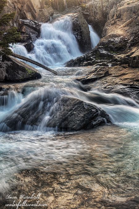
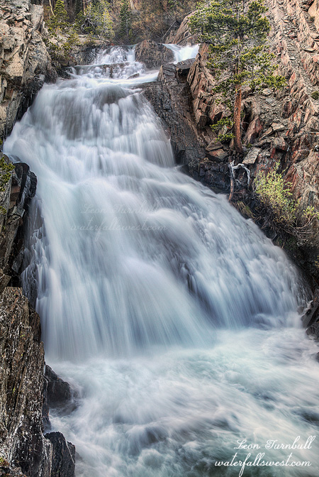
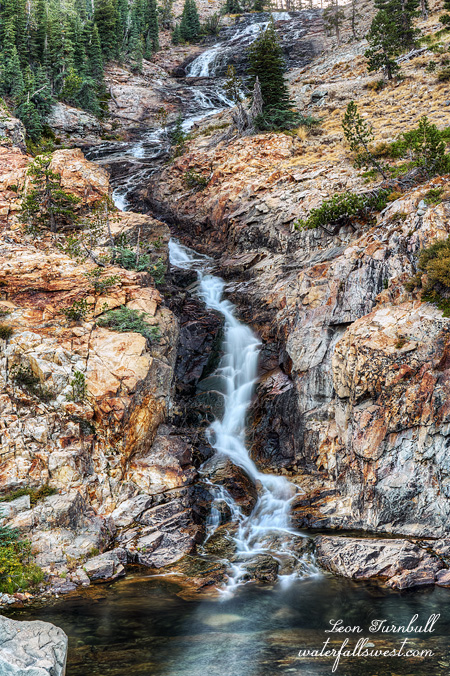
After I got off the JMT section, I did not see anyone else on the trail up to the waterfall (I did see others going up to Minaret Lake later). I found a perfect campsite near the bottom of the falls. The waterfall was flowing decent, better than I expected for so late in the year. It was not great, but not bad. It was a beautiful spot.
However … as soon as I arrived at the camp, I smelled smoke in the air. I did not think there were any fires in the area. There had not been any smoke at all until I got to this one location at the waterfall. Was this a new fire? Did some idiot leave an illegal campfire unattended? I checked all around but I saw nothing and no one. I just prayed there were no new fires and I would not get burned to a crisp while I slept. Everyone (including myself) is too paranoid this year because of all the fires. A little smoke freaks everyone out (including myself). As it turned out, I think the smoke was from the Lions Fire, but it was strange because it was only in this one little area.
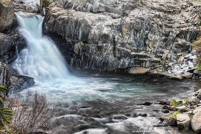
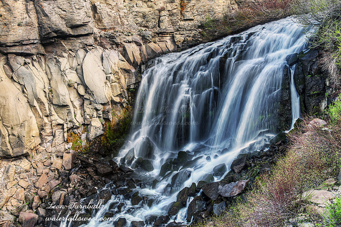
I had my dinner, relaxed for a long time waiting for the sun to go down, and texted my wife (there was cell service here). In the evening I went up to photograph the upper falls (shown here), and another waterfall I discovered close by as well. It was a glorious day.