After resting at camp for 5 hours, I had one more hike to do in the afternoon after going to the upper Kendrick Creek Falls. Below Edith Lake is Lower Kendrick Creek Falls. It is a 500 ft. descent. I did not realize it was such a huge descent, I thought it was more like 100 or 200 ft. but when I looked back up from the bottom, I thought, holy crap, I have to climb back up that? Being so tired as I am? It turned out it wasn’t as bad as it seemed. But it seemed bad. Again, it was a lot of walking down very steep granite rock to get down to the lower falls. There was also a massive wall of brush that I had to find a way around.
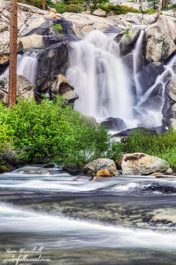
Lower Kendrick Creek Falls is 49 ft. high. There was no way to get up close to this one unless I crossed the creek but the creek was not crossable. I photographed it from further back, the best I could do.
The next morning I was up at 4AM. I had to hike 15.5 miles all the way back to Hetch Hetchy Reservoir. That is 7 miles of difficult off-trail hiking, plus 8.5 miles on-trail hiking. Elevation gain would be 1800 ft., all of it at the beginning on the off-trail section. I estimated it would take 12 hours to hike all the way back, so starting at 5AM I would get back to the reservoir at 5PM. The off-trail section took 1 hour longer than anticipated but the on-trail section (all downhill) was much quicker, so I actually got back at 4PM, one hour ahead of schedule. Not too shabby.
I dropped my GPS. It was only about a 2 foot drop and not a hard landing, but it stopped working. This was an issue. I had a backup of course but my backup device was not going to show me where all the brush was, it would only generally show me the proper direction to go. Since I was off-trail, I was going to be in big trouble navigating through all the brush. Before I got up to the brushy sections, I tried my GPS again. It was working! It was definitely behaving erratically but it was working again for now. Good news. Now I could navigate through all the horrible brush. It definitely seemed worse going back for some reason. This is a lesson learned for me. From now on I will make sure to load my off-trail routes to both devices. Could I have navigated back with only my backup device? Certainly but I would have been in the thick of the brush and it would have taken a lot longer and been more difficult. Could I have navigated back if I did not have a backup at all (and my primary device was not working)? Definitely not. I would have been thoroughly lost in space.
I got back to the trail at 12PM. It is all downhill from here and I made good time until I came to the final steep rocky section to the reservoir. Oh man, I do hate hiking these rocky steps. Why couldn’t they make this trail properly? My blistered feet were complaining very loudly. It was also very hot. The two days of cooler temperatures were gone. It was about 90 degrees down at the reservoir and I was hiking in the worst part of the day, but I knew it would be like this and I had no choice. I had to get back home this day. I lathered on all the sunscreen I could and sucked it up. I am just glad it was all downhill.
The water levels were drastically reduced from three days prior. When I got here on Friday, Wapama and Tueeulala Falls were massive. (in fact I don’t think I’ve ever seen Tueeulala at such a high flow before). Now 3 days later, they were much reduced. There was one small stream I was counting on for water. It was quite nice on Friday but now it was dry! No more water available to drink. It was only 4 miles to the reservoir and I had enough but I had to conserve. Good thing I had lots of water and soda at the car.
I drove straight to Pizza Factory in Groveland. Mmmmm, that was much needed. It was an incredible 4 days in the Yosemite Wilderness.