IN THE HOLE
When I discovered this waterfall on Grayhorse Creek at Hell Hole Reservoir last spring, I could not get down to it because I was backpacking and did not have a rope with me. I thought it might be possible to get to it with a rope, so it was high on my list to return here. I made it just in time. One more storm and this area will be closed for the winter.
The forecast for the last storm was 4-8 inches at this elevation. I was definitely thinking it a good possibility that I would not make it there. Eight inches is about the limit for my SUV. My next vehicle is going to have much more clearance for sure, but it’ll be a few years before I can afford another one. I had hoped to be at the trailhead by 6AM, but the drive was very slow going due to the snow on the road, not to mention that it was very icy. Ending up in the ditch would not be a good idea. Or even worse, off a cliff. As it turned out, other cars had driven the road the day before, and there was only 4-5 inches of snow. So it was on the very low end of the forecast, which in a way is disappointing because we need that snow, but I might not have made it there if there was more than 8 inches of new snow. I arrived at the trailhead at 6:30AM, 30 minutes late. It was going to be a stretch to make it to the waterfall before the sun got to it. Well I had to try.
Off I trampled through 4 inches of snow, following deer tracks and coyote tracks. Those coyote tracks looked pretty darn fresh, I wondered if I was going to catch up to him or not. But alas, I saw nothing but a friendly squirrel (at least, I assume he was a friendly squirrel). It was a beautiful crisp morning, perfect for a snowy hike, and a pretty nice sunrise overlooking Hell Hole Reservoir with fresh snow on the mountains (I did stop to take a photo). Unfortunately, Hell Hole Reservoir is looking pretty sad, but we are still praying that will change this spring.
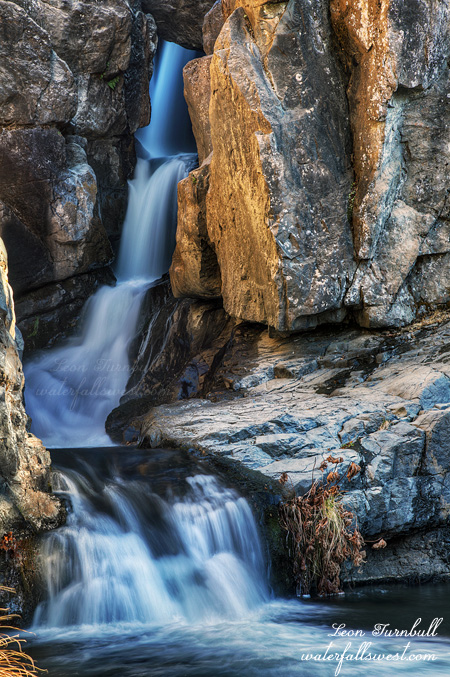
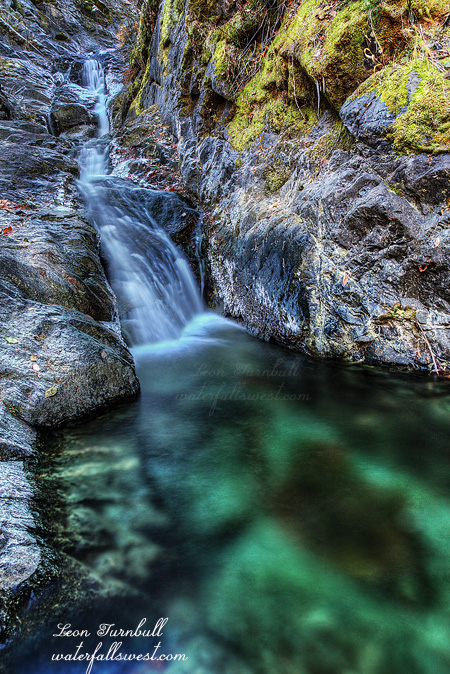
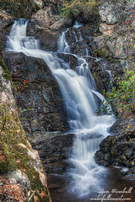
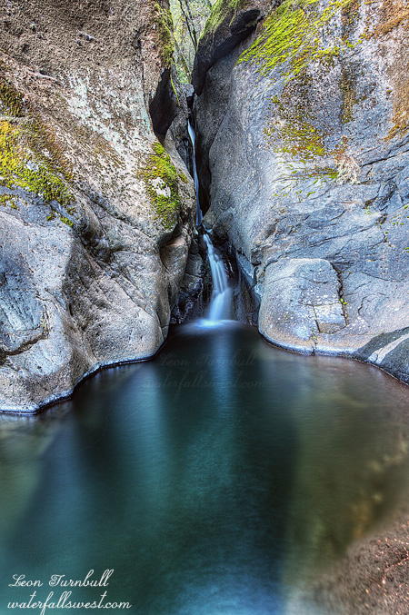
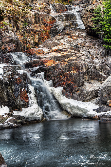
I reached the creek above the falls a bit after 8AM. It seemed to still be in shade, but not for much longer. I got out my rope to begin the descent, but it was snowy and icy, and felt much too dangerous, a lot more dangerous than my recent trip to Patterson Creek. Uh, what should I do. Well I thought, what if I went further downstream, and then came back to the falls along the creek bed. The water flow was much lower than in the spring, indeed I had thought it would be flowing a lot better after this recent storm. It was easy enough to get down to the creek downstream, no rope required, and then it was very simple to walk up the creek bed. I did not even get my feet wet. I got up to the waterfall, and it was spectacular, a lot bigger than I had previously estimated: 69 ft. high, just falling a foot short from the 70 ft. marker. The flow was low, but it was still gorgeous. It would certainly be amazing in the spring if you can get down to it. I was ecstatic to make it here, but it was still early, and I was hoping to find even more waterfalls on this creek. And indeed, I did. And they were even more amazing than this one. Come back soon to find out.
No Comments