ON THE EDGE
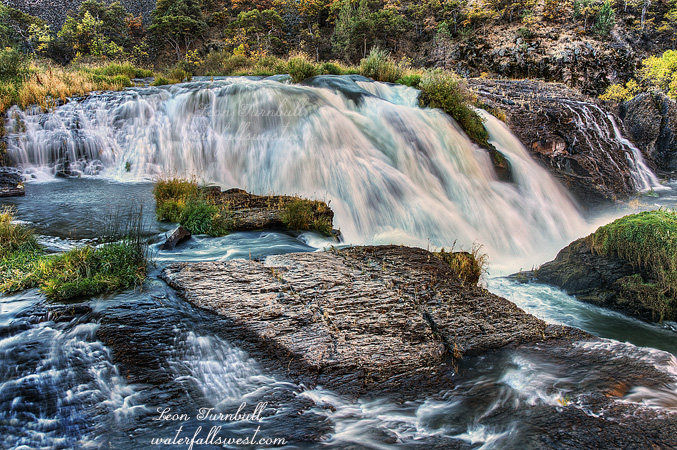
I know this is not a good photo, but it is the best I could muster up today.
I went back to the East Fork of the North Fork of the North Fork American River (EFNFNFAR) again this weekend, trying to get to that mischievous and elusive upper falls. I found it, however it was not exactly what I hoped for.
I left the dirt road and headed straight down to the river. I was pretty certain I could come out right at the base of the waterfall, and have a perfect view of this crazy thing. Not quite. The descent was very brushy, in particular near the top, but I persevered and got through the worst of it. Continuing on down down down, 700 ft. down. It was not too steep or cliffy, and I soon began to think my grandiose plan was going to be perfection again. Then I came to the last 100 ft. of the descent. Cliff. Cliff. Everywhere a cliff. I made my way a bit further downstream, and found a non cliffy descent, it was steep, but I made it all the way down to the river. When I got down to the river, I saw a tripod head laying there. Gee, I thought, someone was down here before and dropped their tripod head. That is not very good at all. I looked a bit closer … that sure looks very similar to mine. Umm, wait that is mine! Crashing through the trees down that steep terrain, it must have come off the tripod and rolled on down ahead of me. Dang, I could have easily lost this and not even had a clue.
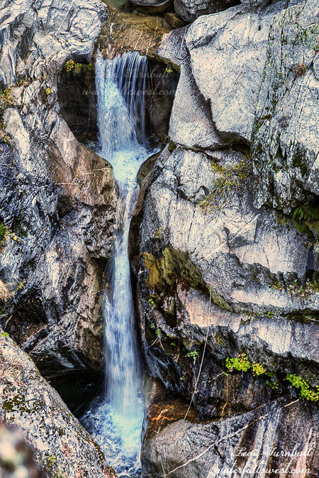
All righty then. I scooped it up and screwed it back on the tripod (securely). Now I just needed to work my way upriver to the falls, I really thought I was going to make it without any difficulty. I was almost there. I came around a corner, face to face with a deep and large pool, followed by a 15 ft. cascade, cliffs on both side, and no way to get up past it. The main waterfall was just out of sight, above this little cascade and around the next corner. I was skumped. And I was so darn close.
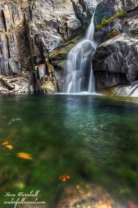
Well I went back, and then climbed up the mountain the way I came. I tried to get over closer to the waterfall above it. Maybe I could at least get a good view of it. Well here it is, I found a view. I was literally hanging on the edge of the cliff, looking down at the falls. I could not find any good place (or any place at all) to put my tripod, so I had to take the photo hand held. Not very good, but what can you do. It does not look very big from the photo, but the waterfall is really 30 ft. high or even more (I could not get an official measurement either).
It is a nice one, but man oh man is it so darn elusive. And absolutely impossible to get to, unless you are going to rapel down the river from above the falls. As you can see, it looks like someone has actually done this, and they left their rope hanging beside the falls. That quite annoys me and is very irresponsible to leave your rope out in a pristine canyon, so that the next person to come here (ie. me) has to look at your ugly rope beside a beautiful waterfall. Leave no trace, people! End rant. End story.
4 Comments