HAPPY BIRTHDAY TO ME!
I love it when my birthday is on a Saturday. Saturday is my usual hiking day, so when my birthday is on a Saturday, I can hike all day and do what I love. Find waterfalls!
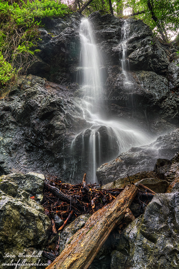
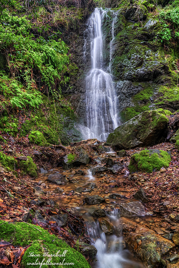
I headed back to Oroville. This time I left very early, and beat the construction traffic on Hwy 70. They were getting ready to start at 7AM when I drove through, but there were no delays. My plan was to head back to Murphy Creek Falls and try to get to that elusive upper falls. However … the creek was at about twice the flow it was last time I was here. I would have to cross that creek. I suspected this would be the case as I have been monitoring creek levels all week. It did not go down as much during the week as much as I had hoped, but I decided to try it anyhow. The creek actually looked crossable when I arrived at the trailhead. This might be good after all. I started up the trail, but then got to the small seasonal creek just before the lower falls. This little creek was flowing at least twice as high perhaps more. It was extremely dangerous, and I could not cross it safely. I did not want to die, so I retreated back to the car. That is when I found a yellow sticker on my car from the highway patrol (not a ticket). I was parked legally, well off the highway, and gone for less than 30 minutes. Yet the officer apparently thought I had abandoned my car! Geepers!
Anyhow, Murphy was a bust. It was on to plan B.
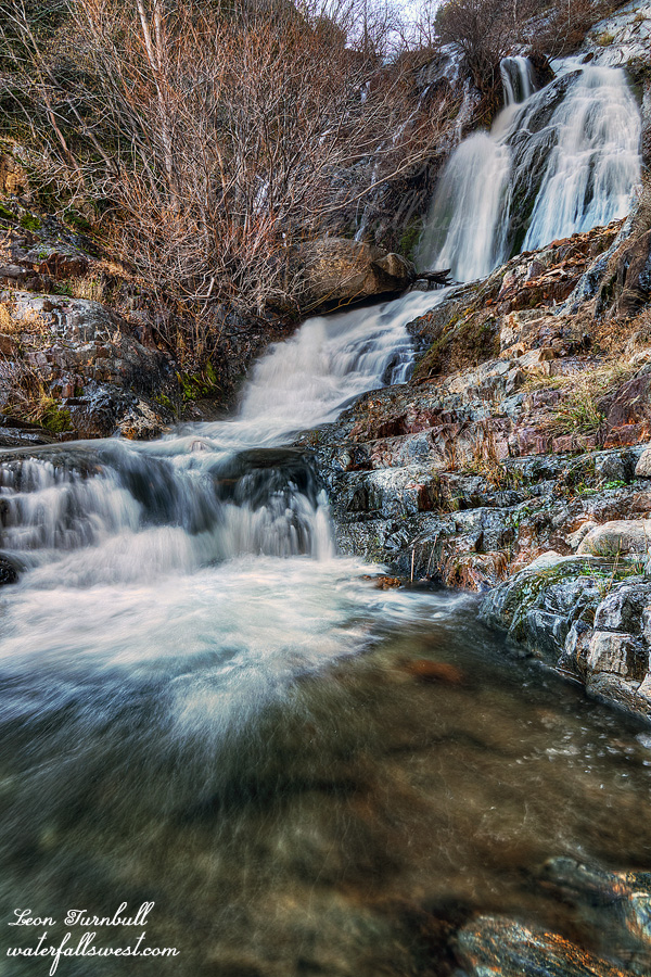
Plan B was to go up to Chambers Creek Falls. I have not been to these falls in 12 years. It was time to return and get better photos of these waterfalls, and maybe see some parts I have seen before. I started the hike at 11:30am. So what was I doing from 8AM or so until 11:30? Going to see other waterfalls of course. All in all, I saw 7 waterfalls on my birthday, 3 of them were new ones. More on this later.
The hike up to Chambers Creek Falls is a huffer, gaining 1700 ft. in elevation in a couple miles. There were a ton of ticks along the trail. Crappers. Fortunately, the trail is wide, so it is easy to avoid them. As I thought about this, however, the trail suddenly becomes much narrower on the top half of the trail. Not so easy to avoid them now. But anyhow, I avoided getting any of the little bugger machines on myself. I find it interesting how they know to climb up on the grasses overhanging onto the trail? They do not climb up on the grasses off in the bushes. You need to do a lot of off trail scrambling to see all the waterfalls up here, and I did not see any ticks (or very few) when I was doing all that.
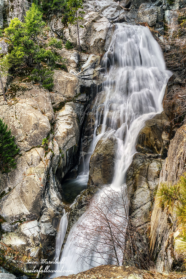
I finally arrived at the bridge over Chambers Creek. There are four waterfalls here. Only Fall #2 is easy to get to. The other three are killer. I ate my lunch at the bridge, and took photos of #2 (35 ft. high). As I was finishing up my lunch, a family came up the trail. The only other people I saw all day long. I don’t imagine they were planning to see the other waterfalls (which is good because they had two little kids and a dog and that would have been very dangerous for them – but those kids did really good climbing up this trail, it is not an easy hike). Anyway, I climbed up above the second falls, and then down to Fall #1 (105 ft. high). After this, I climbed back up and down to the trail, and made the very steep descent down to Fall #3 pictured here (94 ft. high). I was standing on a freaky ledge at the edge of the cliff to get this photo. I sure hoped the rock was secure on the cliff. But Fall #4 was scarier. I have not been down to Fall #4 before, and I did not think it would be possible. Yet I was able to continue climbing down the mountain, and I came down to a point where I could see Fall #4. Sort of. It was almost but not quite the most spectacular thing I have ever seen. You can get a glimpse of the 2 tiers of Fall #4, with #3 above. What a sight. But it is only a glimpse. There is no clear view of the thing. As it was, I had to stand in a very sketchy spot, just to get a photo of Fall #4. After this, it was back up up up to the bridge, and then back down the trail to the car. I got back to the car right at sunset. Then I drove to Chicago Fire in Roseville to meet my family for my birthday dinner. It was an awesome birthday.
2 Comments