TOTO, I DON’T THINK WE’RE IN CALIFORNIA ANYMORE

It was an extremely windy afternoon and evening.

PG&E had shut off power throughout California due to wildfire prevention. Our church on Sunday morning was without power and we had service in the dark. Despite the power being off, PG&E still started a massive wildfire in Sonoma county. Good thing your new policy works so well, PG&E. Not.

Indeed it was very cold and very windy. It was so windy it felt as if every other tree was going to fall on me as I hiked. It was so windy it felt as if I was being blown clear across the state. There were many fallen branches and twigs on the road (and falling onto the road) as I drove to my destination. It was an obstacle course to avoid them. I do not normally like hiking in such windy conditions. I’m afraid a tree is going to fall on the road and block me in somewhere. Or worse: a tree is going to fall on my car. Or even worse: a tree is going to fall on me. However, I had not hiked in quite a few weeks and I was feeling the big itch to get out into the wilderness.

Most of my hike would be off road. No trail. Just hiking through the woods, with the wind howling and shaking the trees. Thankfully, there was not that much brush I had to whack through. It was mostly open and nice. When I was out in the open, I felt really happy, but the few brushy parts got me anxious for some reason. It was getting late and I did not want to be hiking back in the dark through thick brush. Well it was a nice idea but …

I arrived down at the river after 5PM. It took two hours to hike that two miles through the forest. I was taking a lot of video along the way, which always adds a lot of time to the hike, but I estimated it would take 1.5 hours to hike back to the car. I figured I needed to start back by 5:30pm at the latest to avoid having to hike back in the dark. Hmmm.

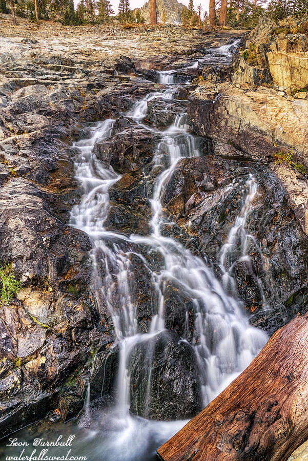
Middle Bear River Reservoir Falls is a really nice one, dropping 41 ft. over a big huge rock. It looked very unique and very interesting. I was very pleased. I went to the upper falls last year (also very nice). This year I wanted to try the middle falls, and overall, it was not that difficult to get down to it, and I did not have to cross the river either. I took my photos as quickly as I could. I did not have much time. It was 5:40pm when I started back.

Here’s the problem: Somehow, I totally miscalculated the time for sunset. I had written down in my notes that sunset was at 6:40pm. It was actually at about 6:05pm. I was wondering why it was already so dark as I hiked back up the mountain. I know I am in a deep canyon, but it should not be this dark. By about 6:20pm, it was pitch black (just like the rest of California). I was not even back to the brushy section yet. Now I had to hike through that stuff in the dark, which is exactly what I did not want to do. Not much I can do about it, though. I got out my headlamp. It did not turn on. The batteries were dead. Why did I not check this before my hike! I did not even think I would need it for this hike, which is probably why I did not check it. Well, at least I had my iPhone light. Not quite as nice but it worked. I managed to make it back through the brush and got back to my car at 7PM. It was still extremely windy. Thankfully, no tree had fallen on my car. It was a great little hike at Bear River Reservoir.


No Comments

UPPER KING

I got up in the dark. I got up too early. I totally overestimated how long it would take to hike up to the upper falls. Indeed, it was a pretty short hike. I had calculated that the falls would be in the sun immediately after sunrise, so I wanted to be there at sunrise and no later. But it was not sunrise yet!

When I arrived at the upper falls, it was still dark. I had about 30-45 minutes to wait for sunrise. I could have slept so much longer! Well, I filled up on water and I ate my breakfast. That took about 15 minutes, I suppose. It was quite a bit cold, waiting around with nothing much to do.

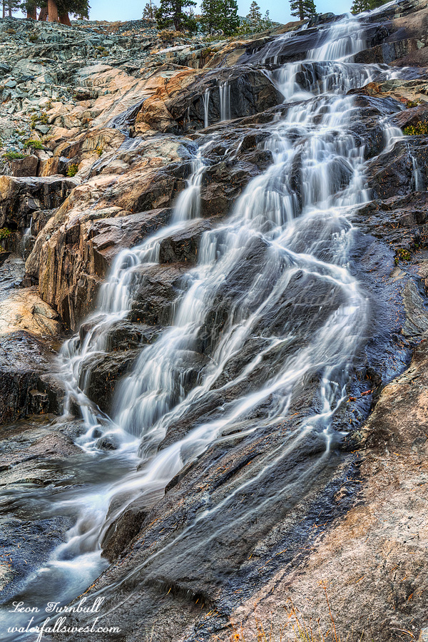
Finally, the light came and I was able to take some photos of the waterfall. I had hoped this waterfall would be a bit nicer, but the flow was low. Certainly, it would be spectacular in the spring. Well, it was still quite a bit pretty, even on this day.

I got back to camp, packed up and made some coffee. Then I hiked back down the mountain. I don’t know why because the trail is only about 6 miles, but it took a long time to hike down. (as it did to hike up). Why is that? I was hiking fast (not running or anything, but not going slow either). It just seemed to take so much longer to hike this trail. Made no sense.

Anyhow, I got into Mammoth Lakes, and I found that the power was on. Hallelujah! I stopped at John’s Pizza Works for lunch (as I always do). Then I made the long drive home.

No Comments

MIDDLE KING

I went straight to the top of the middle falls after photographing lower King Creek Falls (previous post). Then I worked my way back down the creek, photographing along the way. I would love to return here at high flows. Perhaps some day I will.

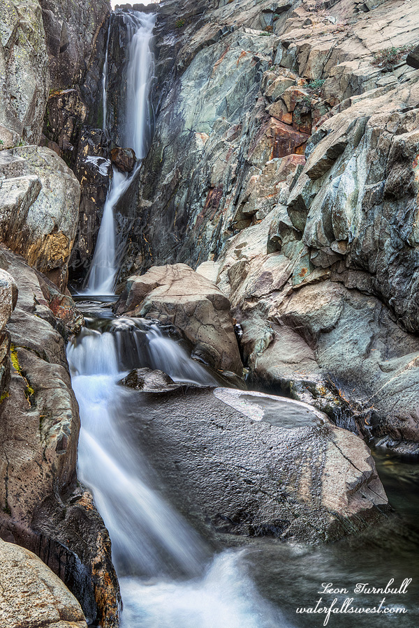
Middle King Creek Falls is essentially one big 200 ft. high cascade. It consists of four separate sections with steeper and significant drops. All four of these sections would be fantastic at high flows. At low flow, I thought the lowest of these sections was the most intriguing (pictured here). It is about a 50 ft. drop and very pretty.

I got back to camp a little before dark, and got ready for bed. It was only 6:30PM. Too early to go to sleep, but I was very tired. Nonetheless, I did not sleep all that well, but not horrible either. On the plus side, it was not as cold as I anticipated it would be. When I drove to Mammoth Lakes the previous morning, it was extremely cold (below freezing). Since I would be camping at a much higher elevation, I anticipated it would be below freezing at night. The forecast said it would only be 37-40 degrees, however. Either way, I was prepared, but what would it be? I was expecting the worst. However, it was not that cold at all, maybe not even down to 40 degrees, but it was around that temperature. I was toasty warm in my sleeping bag all night long.

No Comments

KING OF THE WATERFALLS

It was late in the year but perhaps I could get in one more quick backpacking trip before winter. How about going back to Ansel Adams Wilderness in the Eastern Sierra? Sounds like a good plan to me.

It was a very strange morning. I made a pit stop in Lee Vining for the bathroom. I had considered “holding it” until I got to Mammoth Lakes, but it turned out to be a darn good thing I stopped. I had already decided to fill up with gas in Mammoth because I knew it would be cheaper there (over $5 in Lee Vining!). Well, I got to Mammoth Lakes and drove into the gas station. It was closed. You could not even pay at the pump. I drove to the next one, same thing, and the next. What the heck? It is 8am on a Saturday in Mammoth Lakes, and nothing is open. What a strange town! As I drove back to the visitor center, I finally realized what was going on: The power was out in the entire town of Mammoth Lakes! It must be that new PG&E  policy of turning power off for wildfire prevention. It was not even windy!

Anyway, I began to wonder if I would even be able to get my backpacking permit since the power was out. Well, there were a few people in line, and a ranger was there doling out permits. Since they did not have power, they had to call in the permits to their headquarters. The problem: There was only cell service for those with Verizon. Apparently the ranger’s phone did not work, and my phone did not work, and neither did the lady in front of me have any cell service. Thankfully, the guy who came up behind me had service and let myself and the lady in front of me call in our permits. It was quite an adventure (and I have not even started hiking yet!) But I got my permit and I was on my way to Devils Postpile National Monument.

There were a lot of people on the trail, but as soon as I got off the main trail and onto the Fern Lake trail, I saw zero people. On the way up the mountain, I only saw some day hikers. I do not even know where they would be coming from for a day hike (what they told me made no sense – Bayshore?). It is a tough climb up to King Creek, gaining over 2000 ft. in elevation, and it took a lot longer to hike than it seemed it should. I was struggling with the high elevation as well, and I was very tired. This was strange because I was at the same elevation as last week, and I did not have any problems on that hike. My pack was also a lot lighter this time, since I was only going for one night.

I arrived at King Creek in the early afternoon, and looked about for a campsite. There was nothing on this side of the creek, so I decided to cross the creek. This was not difficult because the creek flow was low. I was hoping the flow would have been much higher because it is a big creek and we had a big snow year. It is late in the year, however, so I guess I should be happy it is flowing at all. I found a nice spot on the other side, and setup camp. I had cell service  (here, but not in Mammoth!), so I chatted with my wife via text and made dinner. After dinner, I made my way down to the lower falls. There are three waterfalls on this creek. I camped by the middle falls, and I would hike to the upper falls in the morning.

It was not very difficult to get down to the lower falls. In fact, I was ecstatic. It was easier than I thought it would be,  it was already in shade earlier than I thought it would be, and it was much much prettier than I thought it would be! I expected the lower falls to be more of a cascade, and with the low flow on the creek, the cascade would not be very interesting. However, it was not a cascade, but it was a drop dead gorgeous 70 ft. high double drop in a narrow canyon. It was absolutely stunning.

How many people have ever seen King Creek Falls or even knew it was here? I suspect some people have been here, I guess, but no one has ever documented this waterfall before. The waterfall madman, the king of the waterfalls, is the first to document beautiful King Creek Falls.


No Comments

DAY 2. SON OF A B***H

It was very windy all night long. The wind was blowing my tent around left and right. I got very little sleep. When I say all night, I mean all night. It was still very windy in the morning at sunrise. I was thinking (all night) what I would do the next day. I wanted to continue up the valley. But what about the gnats? If the gnats were not out in the morning, I decided I would continue. Surely, I thought, with the wind still blowing, they would not be out in the morning. Yet they were still out and very bothersome! Once I packed up my tent and ate breakfast, the wind had stopped. Now the gnats were excruciating! Already! Again! They would be all over me, without break, all day long, if I continued hiking up the valley. Not just today, but the next day as well, and the next after that.

There was only one option: Hike out of the valley and back home. It was the right decision, but I was bummed I only got to see the one waterfall on this trip.

The trail out of the valley is nicknamed: son of a b-*-*-*-h trail. It is most definitely that. As I said, it is THE MOST DIFFICULT trail I have ever hiked before. It took over 3 hours to hike the 2.0 miles and 3000 ft. to the top. The gnats were very bothersome the entire way up the trail, and even at the top, over 7000 ft. in elevation, they were still annoying me incredibly. I definitely learned a lesson here. If I am hiking in September in the Sierra, I need to hike at higher elevation, preferably above 7000 ft.  (maybe 6000 is ok, but 7000 or above would be preferable to avoid the gnats). On the hike back, I met another group of backpackers heading down into the valley. They were prepared. They knew there would be gnats and they had head nets. A head net would have been very helpful for sure, but I still probably would have hiked out the next day anyway. Nonetheless, I am going to return to Tehipite Valley some day. There is so much more there that I want to explore. I will probably do it a lot differently, but I will definitely be back. Maybe October would be a much better time to go there.

I did not hike all the way back to the car. I stopped at Crown Valley, where I found a great camping area near the creek. It took all day to get to this location (which was still about 9 miles from the trailhead). I was absolutely exhausted after two days in a row of extreme hiking.  There were no gnats at Crown Valley, and there was no wind, and I slept like a baby. I got about 11 hours of sleep, and was well rested the next day for the relatively easy 9 mile hike back to my car. I was home by dinner time.

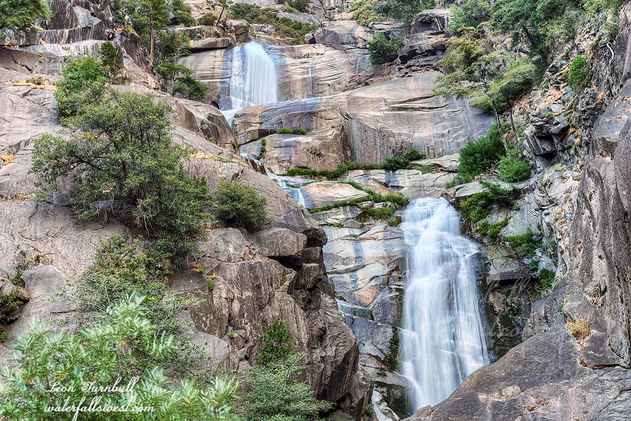
In this photo you can see one of the upper tiers of Silver Spray Falls.

No Comments